Showing posts with label Presidentials. Show all posts

Tuesday, July 14, 2020

Mt. Adams Via Airline: June 14th 2020

It has been a funny season for hiking thus far.
Plan "A" had us wrapping up all the NH48 except the Bonds, and Owl's head during the very early Spring season. Due to COVID, we didn't even consider traveling to NH (even though it is about 4 minutes away) until June. 

Our other goal for the early season (originally planned, tentatively, to happen late June) was a full Presi with Ellie. 

Anywhoo. Weeks later now, we have postponed our Presi attempt until either:
a: a perfect day where we limit weather variables for maximum safely
OR:
b: next year. the mountains are always there

Because Mrs. Ellington was a little baby last year, we made no complete summits conquests in the Northern Presis. although we did play around Adams, just enough to stick our heads above treeline. 

After a week of the weather looking like crap, we woke up the morning on June 14th to a promising looking day, and off we went to conquer Adams, and to test Ellie's skill in the boulder field. 

It should be mentioned that Eric has beef with Adams. He kind of low-key hates it, and I can't completely argue the point. Every time we have been up there visibility has been zero. The wind has been INSANE. The rocks.... So slippery. So, Eric and Adams had a score to settle. 

We headed up Airline, as we had never done the whole trail and figured it would be a *good* time and a *great* way to tick a trail off the T25 list. Many good choices. 

Anyway. As promised it was, in fact, a decent enough day. And WEIRDLY, no wind. 

Airline was decent. Then rocky. Then kind of dumb. 

You can't judge the ups by the pic
Weirdly though, after this garbage section of trail it gets pretty decent again! Trickery. 

And.... As is the case with many of these silly hills, once you get above treeline it's a bit mind blowing. On airline, you basically teeter in space and can gawk down into the ravine and make wise choices about focusing, not tripping and falling. 

Just looking up for safety


Because I was 100% not focused on picture taking, I neglected to take a single shot of any of us making our way through the boulder field. 
But let me say this. 
It was a dry day. 
There WAS ZERO, and I mean ZERO wind. 
Visibility was as good as it gets. 
And Ellie was amazing. 

And, with GLORY in our hearts. we summited. 


Then (as you can see) we descended the boulders with success, walked over to the Madison hut, and came down Valley Way because it's easier than Airline. 

Success! A great day in the Northern Peaks. As far as T25 trails go, Airline is a piece of cake. (although you can REALLY appreciate how BAD it could be if you took a wrong step....)

We barely saw any people all day, except for a decent sized pack of noisy college aged humans. The weather was amazingly cooperative. It was a great reminder about the technical/fiddly challenges of the northern peaks that you just don't see elsewhere. AND, we were both delighted with how well the puppy handled the tricky terrain. Smart girl (and, because she is only about 45 pounds, her paws didn't even take a beating.)

Stats:
Date: June 14, 2020
Mileage: 8.5
Elevation: 4,447
Time: 5:50 (probably 20+ min of taking in the scenes, etc)
Challenge level: Difficult
Dog Friendly?? Completely, until you get above treeline. If you had issues with your dog on the way to the summit you must be aware that carrying them down could be very difficult. So proceed with caution. 

Wednesday, July 31, 2019

Mt. Eisenhower: 4k #13 of '19: Casey's first 4k footer!

This Spring, Casey said "I'd like to go hiking with you guys sometime"  (Casey is a young person who has ridden with me for 13 years, and who we basically consider to be our littlest sister. From another mother. And father. But we borrow her.)

Anyway.

As soon as she spoke the words, we put it on the calendar. Don't tell me you want to go hiking/running/riding/beer drinking unless you want me to make it happen!

As it turned out, in a VERY unusual (for us) sequence of events, the whole weekend came together like a snap. Even though we made plans to hike on this weekend at least 6 weeks ago, basically guaranteeing terrible weather, it was GREAT. I was able to get the day off from work. It was the beginning go Casey's birthday week!!! AND she held off on catching a head cold until the next day (#winning)
I told my cousin Evan that we were taking her adventuring, and knowing how crazy Eric, Ellie and I are (relatively, we are no Presi trail runners here) he said "I hope she still likes you afterwards!!"

To ensure that she would not only like us, but probably LOVE us, we decided to climb Eisenhower. I mean really, you have to be pretty hateful of nature, fun, and views to not love Eisenhower. This was 4k #13 for Eric, Ellie and me this year, but Eric and I have been up there before. So, it only counted as a new hill for Ellie and Case.

We have to give a shout out to Edmands Path. Pure Magic.

Hello Lovely
We got to the lot at the casual morning time of 8:00-ish. The lot was pretty full but we found a spot (it clearly filled quickly, and there were about 25 cars on the road when we retuned mid day.)

We took the obligatory starting pic, and off we went.

Shiny and clean
And the trail was just lovely.

5 lane superhighway
Edmands is just a really great trail. Casey is NOT a hiker at all, this was her first 4k footer and she did Jack Dick to prepare for this hike. (I mean, generally she is young, fit, and spends a ton of time on her feet. But there was no pre planned hiking regimen to lead up to this.)  The grade is easy to moderate (there area couple steep stretches here and there, but they are very brief and non technical.) So yes, this is a good trail.
(and I should add: Casey Killed it. She hiked like an expert, and wasn't even sore the next day!!!)

Ellie loved it, and agrees that it was a really pleasant hike
You are basically below treeline for a while, but since Eisenhower is not a super long hike, it seems like no time before you are seeing some sweet views.

I'm sure the Northern Peaks were good and socked in this morning! 
And then BOOP up you go over treeline. There is one teensy stretch of rocks, and then you are there.

Well, you aren't "THERE" but you are up in the sky
It was such a nice day. There were a few clouds but we didn't mind them. It was a pretty toasty day, and there was very little wind. Certainly a much warmer day than we had experienced last year this weekend when we did a Presi. We spent some extra time looking around, and enjoying the views.

Ellington is very majestic 
We scooted up the loop path to the summit, which is always a blast.
And then, just like that, WE WERE THERE! REALLY there.

Birthday Girl at the Summit!!
There were a ton of people at the top, because Saturday hiking in July is dumb like that. However, we made ourselves comfortable and had some serious snacks, and took in the views for a good 20-30 minutes. #casual

Hiking buddies
Since what goes up, must eventually go down, we did begin to descend after a bit.

Eric and Casey were backpack twins
Casey borrowed all of her gear from us, including Lee's backpack. Clearly, I was a fan of the backpack twinning.

ALONE ON THE MOUNTAIN. Except, not really AT ALL
Nobody really likes going down. Even when it is a polite mountain path, we all get a tad ornery. Really though, it was smooth sailing. TONS of hiker traffic coming up, but it is unavoidable. Everyone was in a good mood because of the killer weather, so that was a plus. Nobody likes a pissy hiker.

And then. DONE!!

DONE!!
We had a parking lot party with a ton of mosquitos, and then headed back home while Eric and I told Casey stories of our youth.

Want a special 4Ker for your first attempt? I would definitely suggest Eisenhower. Yes, it's about 6.5 miles round trip but it's just a solid excellent, manageable hike. Moderate incline, nothing scary, views for MILES and you feel like you are REALLY on top of a big hill. Plus, we have living proof that is can be done, as we packed Casey right up to the top.

Strava data: (we take this with a grain of salt) 
-elevation climbed: 2,795
-miles covered: 6.3
-elapsed time: 4:35 (we took a really good break at the summit, certainly 40 minutes stopped time today if not more.)

Difficulty: On the gentle side of moderate. I hesitate to call anything easy that takes you up so high, and above tree line, but HONESTLY, this is one of the easier hikes in the white's. I always say that Pierce is the go-to for first 4k, but after doing this as a stand alone, I declare that this is the one. 

Views: Excellent and impressive. Unbeatable for a straightforward hike. 

Bugs: An annoying number of deer flies (they are awful this year) and mosquitos at the base

Dog friendly trail? Absolutely, unless your dog just can't hang (our Lab can't for example)


Signature

Sunday, January 13, 2019

Winter Hiking: Mt Madison, January 6th 2019

Eric and I were not terribly excited when we saw the forecast for our hike last Sunday. It was expected to be a high of 15 degrees, 1-3inches of snow, and winds to 50 MPH.

WE DO NOT WANT A $15 HELI EVAC.

So, we decided that we would mosey on up (knowing that 95% of Madison is below treeline) tag the hut, and get TF out. (or, alternately, we would bail the hell out at any time before then.)

Confusingly, it was about 33 degrees (and snowing a little) when we arrived at the trailhead around 9:00 (omg so late. I may have never seen the trailhead in the daylight!)

There seems to be a snowbank in the way
So, yes. It was a nice mile morning. The wind was NBD and trail conditions looked great. We got our winter gear together, and off we went.

Ready to depart!
Have I mentioned how much I appreciate the snow smoothing out the trails? Because I really do. Winter hiking is pure fucking magic.

OMG LOOK AT THE TRAIL, NO ROCKS!!
We really had to strip down during the first mile- we had prepared for very cold and windy weather and it was anything but. (I mean, it was seriously cloudy and snowing lightly. but plenty warm enough for a winter day.) As we know, no matter how warm it is at the base, you are going to need Death on Mt. Everest attire as soon as you get above treeline, so we were happy to have it.

Down to the base layer, snapping the selfies
One of these days, we will go on a hiking adventure that does not require 300,000 outfit changes. Today was NOT that day (but it gave me time to snap a few pics!)

It occurred to us that we have never begun a hike up Madison in the daylight. It was a really pleasant experience, and it is such a pretty area. It was fun to come to the place on the trail that we normally see the sunrise (and see, what? clouds!)

"We usually see sunrise here! Today, we see clouds." (but it's still pretty.)

Not shockingly, as we gained elevation the temps began to drop. The weather was still solid though- barely any wind, still warm enough (20's) and steady light snow. We felt reasonably well equipped in micro spikes (the warm temps for the first mile caused us to pick up a number of snowballs- which is rather annoying.) There were several spots late in the ascent when we could have done with crampons due to some more significant ice, and the incline.

And, we are bundling back up.
We paused at the Oh Shit sign to really bundle back up. Even though we planned to speed very little time above treeline, we could hear the wind and we didn't like the sound of it. Let me tell you, getting into extra kit basically on the side of the mountain was not an easy feat. One occasionally forgets that the homestretch to get above treeline on Valley Way is basically a straight uphill pain in the ass. We were basically sideways, hauling ass.

STAY AWAY FOOLS!!! YOU GONNA DIE!!

We scurried to the hut. Tagged it's ass. Ran away. (well I paused to talk to a guy coming down from Adams, and he told us about the 90MPH gusts. Ummmm, no?)
It was pretty damn cold, and making the final stretch to the summit held no appeal to either of us. Visibility was pretty shit, and we just don't need to take any extra risks.

Hello Hut
As usual, right below treeline the conditions became more pleasant. Basically delightful.

Scurrying away from the cold
GRRRRRRR. I wrote a really excellent and witty descent half to this story, and it vanished into thin air. Ain't nobody got time.

So, to wrap up:

We saw exactly one bit of blue sky.

And it was lovely. And short lived.
Minus the pesky rocks of summer it was easy peasey, we faffed around while going down. Had snacks. Took layers on and off. Took photos.

Eric had beardcicles 
 We returned to the parking lot in the same weather we had started in. About 30 degrees and flurrying snow. Solid January day.

Done

Stats:
Time: 3 hours 55 minutes (according to Strava, this included about 40 minutes of stopped time. Considering how many times we had to pause to change clothing, this seems fairly accurate. And this total time includes the stopped time.)
Mileage: 7.3
Elevation gain: 3,647
Challenge level: Moderate/Challenging. The snow takes out some of the intensity, and much is safely below treeline. But this is a hike with some pretty steep sections that would be exhausting for a novice. No fiddly technical bits on this hike, and no major river crossings (although I believe there could be some damp spots in the Spring.) The lack of exposed time on Valley Way is what keeps this in the moderate zone for me- I find that the difficulty/danger is much higher when above treeline. 

Signature

Friday, December 28, 2018

Winter Hiking: Mt Pierce, December 26, 2018

Eric and I had planned a huge late fall/early winter hiking. However, the weather in November was nothing short of unreasonable! We got over 30" of snow (thankfully, not in one fell swoop.) It was very cold and dreary, and really quite aggressive for November.

I, in particular, did not really have winter hiking gear and we certainly were dealing with winter conditions. Oddly enough, December was way more laid back in the weather department. I believe we actually had more snowfall in October! (however, it was winter. And I had no winter hiking boots, no micro spikes, no warm gloves, basically I had jack shit.) So fall hiking plans: CANCELLED

But I did what any reasonable person would do, and I asked for *everything* for Christmas.
(and confidently planned a day hike for the 26th, taking a bit of a risk that I'd get enough kit to tide me over!)
Well. Not ICE or SNOW or ANYTHING shall stop me!
Luckily, I hit the jackpot, the weather cooperated, and even Evan was able to make the trip for some winter adventuring!

Some of us (*ahem ahem* ME) might have had one too many Barley Wines on Christmas, and may have awakened feeling a little shitty. Luckily, I quickly bounced back. (I am too old....)

We headed off to climb Mt. Pierce. We had concluded that it was the ideal place to test out our new apparel, remain below treeline for as long as possible, and to be on a trail that we know pretty well. Safety first.

Getting ready
It was about as good of a weather day as we could have hoped for. It was about 15 at the base, and hovered around 10 degrees for the majority of the climb.

The trail was in perfect shape. They had a decent rainstorm the week before, which had us concerned about ice, but the trail was glorious firmly packed snow. (completely covering the infamous White Mountain rocks, and essentially creating a superhighway. It was amazing!)

WHERE ARE YOU ROCKS?????
Evan tested his new crampons, and Eric and I opted for micro spikes. All of us were very happy with our choices, and there were no wipeouts (miracle.)

It was definitely a day for a few un-layering (un-layering..? De-layering? Undressing..) breaks on the way up, as none of us really wanted to get sopping wet and freeze to death.

Removing layers. Eating frozen granola bars.
The weather below treeline was really pleasant (it strongly beat out hiking in the summer humidity!) It was fun to see the winter transformation of an area that we saw several times last summer.

Winter Magic
We really only had one little inconvenience. It was pretty amusing the way we were all fighting with our food. ALL of our snacks and sandwiches froze solid. I did my best to keep my camelback functioning but it was a lost cause (I drink and blow back to keep the line clear, but the mouthpiece repeatedly froze and the whole bag of water ended up being too frozen to be viable. Definitely considering a different method for next time...!)

Nearing the alpine zone, the weather began to get chilly so we tossed back on our layers. The hikers we met coming down appeared to be dressed for Death on Mt Everest, and we assumed there was a reason for this!
Almost there
And yes. There was. As soon as our heads peeped above the trees IT GOT COLD. And shockingly windy!
Love the snowy trees. And the cloud. 
One of the reasons we picked Pierce was the teeny amount of time that one spends above treeline. We really did not regret this choice, and we all learned something about additional clothing that we need if we plan to venture any higher this winter. (example: I need a coat with a hood. A warmer hat. And to remember my ski goggles.) (it should be noted that I basically grabbed my barn jacket and called it good, I could seriously stand to upgrade: suggestions are appreciated!)

We basically tagged the peak and fled! It was not a day to dawdle. Evan's nose looked like certain frostbite and I noticed that my hat had the weather stopping ability of a screen door.

Just imagine the rest of the Presidentials behind us
Oh, and notice what rolled in? The typical big cloud. EVERY TIME!!!

Once we were back in the cozy forest, I felt a pair of eyeballs on me.

Oh Hello
And I met a new friend!

I LOVE YOU!!!
We definitely stayed bundled up on the walk down (despite the fact that we charged so fast that we were down in just over an hour....) But really, it was a lovely day once we were off the summit.

I enjoyed the hike down, although I noticed my boots need a bit of breaking in. It was especially nice not to have any rocks to deal with- so very rare! I might end up being a huge winter hiking fan. The three of us had our typical ridiculous conversations (most of which revolve around either being hungry, needing $15 heli evacs, or some other topic of equal absurdity!)

We had to take the typical bridge picture. (it was a tricky day for photos, because of cold hands...)

Yep, another bridge
We decided not to take a dip today!

Ice bath, anyone??
And then, just like that, we were back. It was REALLY fun!!

Another adventure in the books
All of us really enjoyed this experience, and are eager to do more. We were very mindful of the dangers of weather, and trail conditions and had all the supplies we would need to survive if we became incapacitated. (with the notable exception of easily drinkable water. would have had to melt some snow...) I always think preparedness is the key to a good time, and we all realized what we did correctly, and where we can improve. Looking forward to next time!

Stats:
Time: 3 hours 20 minutes (legit 25 minutes of clothings changes and bird holding)
Mileage: 6.1
Elevation gain: 2,379
Challenge level: Easy/Moderate. Pierce is just a great mountain, and a wonderful one if you are taking a crack at your first 4K footer. Yes, there are a couple somewhat steep spots but nothing dicey, or technical and no major water crossings. A great hike anytime of year!

Signature

Monday, September 10, 2018

Presidential Traverse Attempt, September 3rd 2018

After YEARS of wishing, and hoping, and planning (or maybe weeks.... but who's counting) Evan, Eric and I all managed to get a day off together, with the intention of conquering the traverse.

Even the weather seemed ready to cooperate. 6 hours out, we were looking at some possible morning showers, a solid sunny day with warm temps, and some thunderstorms that might arrive after we expected to finish up. (so no real concerns!) We all felt excited, unreasonably well prepared, and ready to take it on!!

As usual, we got up really horribly early. (1:30!!) The early hour didn't feel bad at all. We were all quite excited, feeling good, and ready to gooooo!

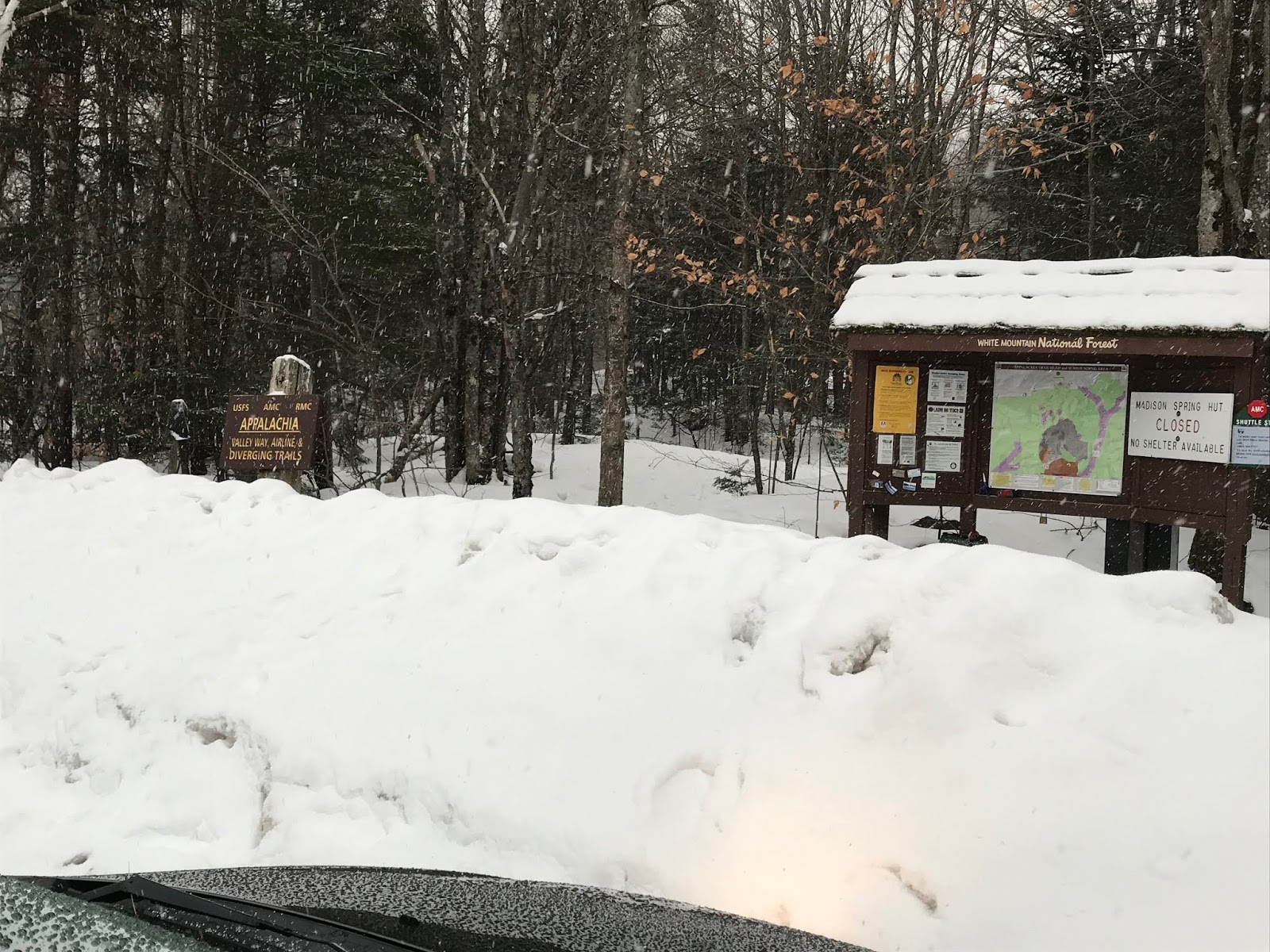
For the first time ever, we arrived at the Appalachia parking lot early, and began our hike at 3:20 (10 min ahead of schedule!!) The lot was crowded, but not nearly as badly as the last time we were there in July. It was extremely warm (70) and very humid, but clear.

Typical "start" pic!
The owls greeted us, and for the first half mile they were very active and talkative. It was a pretty neat way to get the day started!

Since Eric and I have taken Valley Way twice this year, we chose the Watson Path option.

Watson proved to be a challenge, which was not unexpected. While it cuts off a bit of mileage, and eliminates the need for the out-and-back from Madison Hut to the Summit, it is God Damn aggressive.  We aren't sad that we did it, but now we can tell you to not bother with it, especially if it is dark.

Looking down at Eric and Evan while heading up Watson Path
And dark it was. We played "find the cairn" because getting lost on the first peak is lame. (getting lost on ANY peak is LAME.)

That's me, looking for a cairn!
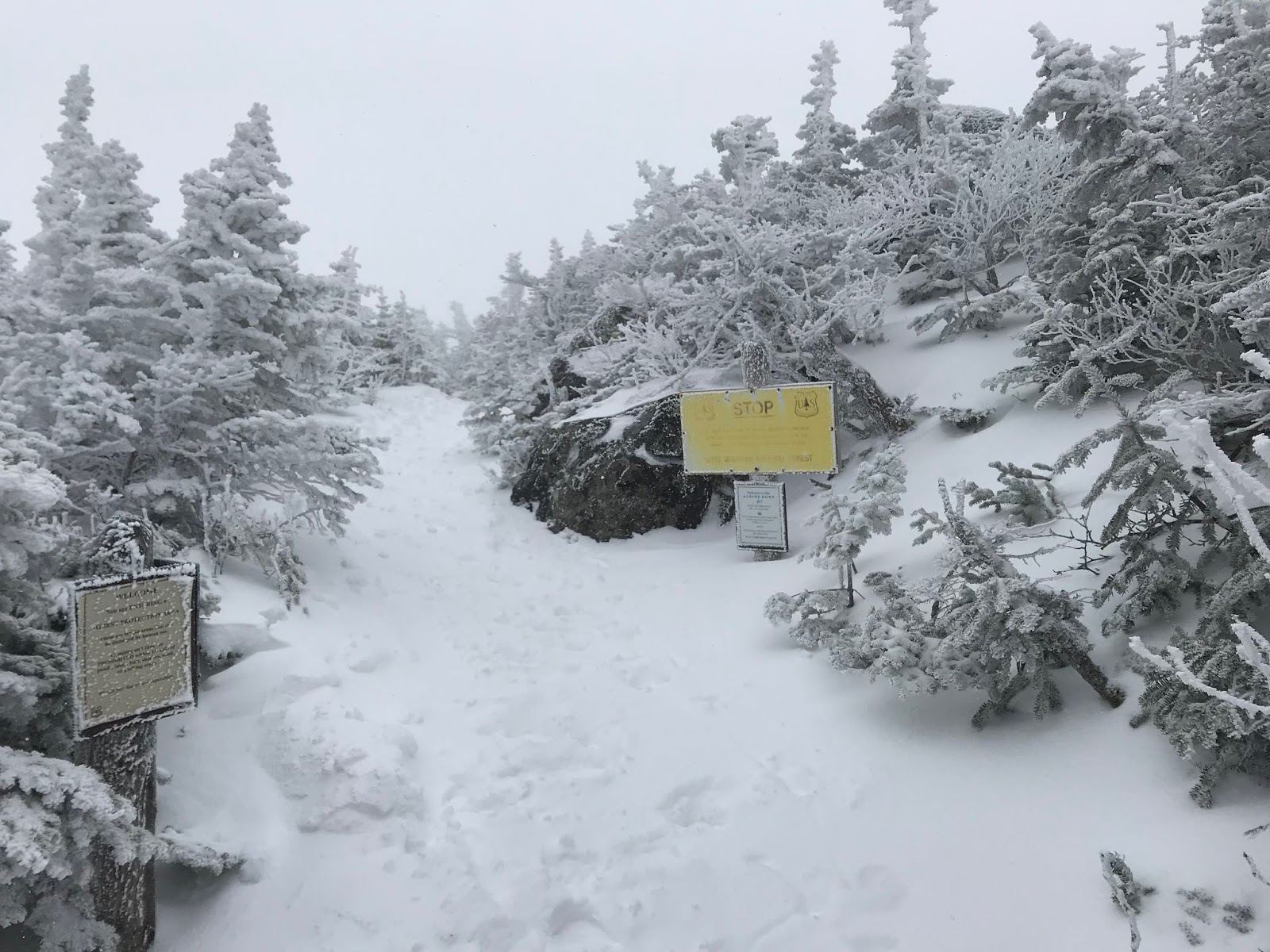
AND. This should come a a shock to nobody. As soon as dawn broke, we realized we were completely stuck in the clouds.

For Christ Sake
We summited Madison and it was a damp crap fest.

Happy in the crap fest, haha!
And then it began to rain. And it was 40 MPH wind. And I fell down, skidded into a crevice and got rather shaken up.

We hobbled into the Hut, in a bit of a mess. Well, Evan seemed to be feeling good. But the old people were feeling that the conditions needed to be discussed.
We took a bit of time and checked out the forecast (it looked crummy, 50 degrees, stupid wind, low visibility.) The one thing that was a positive, was that the rain was supposed to stop, and it wasn't freezing  Looking out the hut windows, at the pea soup conditions we did NOT feel encouraged, but with a plan to take it very slow and safe, we headed to Adams.

Adams was a mess.
We stopped prior to summiting and discussed the pros and cons of continuing. As motivated, and excited as we were to complete the hike, safety trumps all. We concluded that with the fitness we had, with the items we had brought, and the (multiple) back-up and bail-out plans in place, we could continue with caution and reassess as needed.

MESS
At one point, even thought we continued to play "find the cairn" we lost the one in front of us (but could see the previous one #safety.) Evan was in the lead, not far ahead, when the clouds completely obscured him from my and Eric's vision. We were all like "OK. STOP. DANGER." The wind blew the cloud away, just enough for Eric to get a line of sight on the next cairn, which was in a rather unexpected place. So, we continued! Happily!

SO HAPPY DAMNIT
From there, it was more of the same. About the time that we hit the Col between Adams and Jefferson, we were being bombarded by ridiculous wind, and combined with the still very slick conditions, summiting Jefferson seemed stupid. We hunkered down behind a huge rock and came up with a plan B.

From behind the large rock
Rather than just calling it a day, and having Lee pick us up from the base of Washington, we decided to avoid summits until the weather improved. (or, until we got to Washington and decided to bail!!) This meant the end of our real traverse attempt, but left the door open for a decent long hike. The climb over Madison and Adams to Jefferson is always a tedious stretch, but the conditions were making it a bit more of an issue. I think if we had made it up Jefferson, we probably would have bailed early.
We DO NOT wish to be the people who casually go hiking, and need helicopter evacuation. Evan especially did not want this, as he had not purchased the Fish and Game Department Hike Safe Card (which is sort of like hiking insurance, more or less!) (and honestly, don't get a heli evac. just don't.)
Since it was complete crap out I kept shouting encouraging statements, in between bouts of falling down and getting very angry. I was like "you GUYS!!! We just need RELENTLESS FORWARD COMMOTION!!!!" (you had to be there. it was very appropriate, given the situation!)

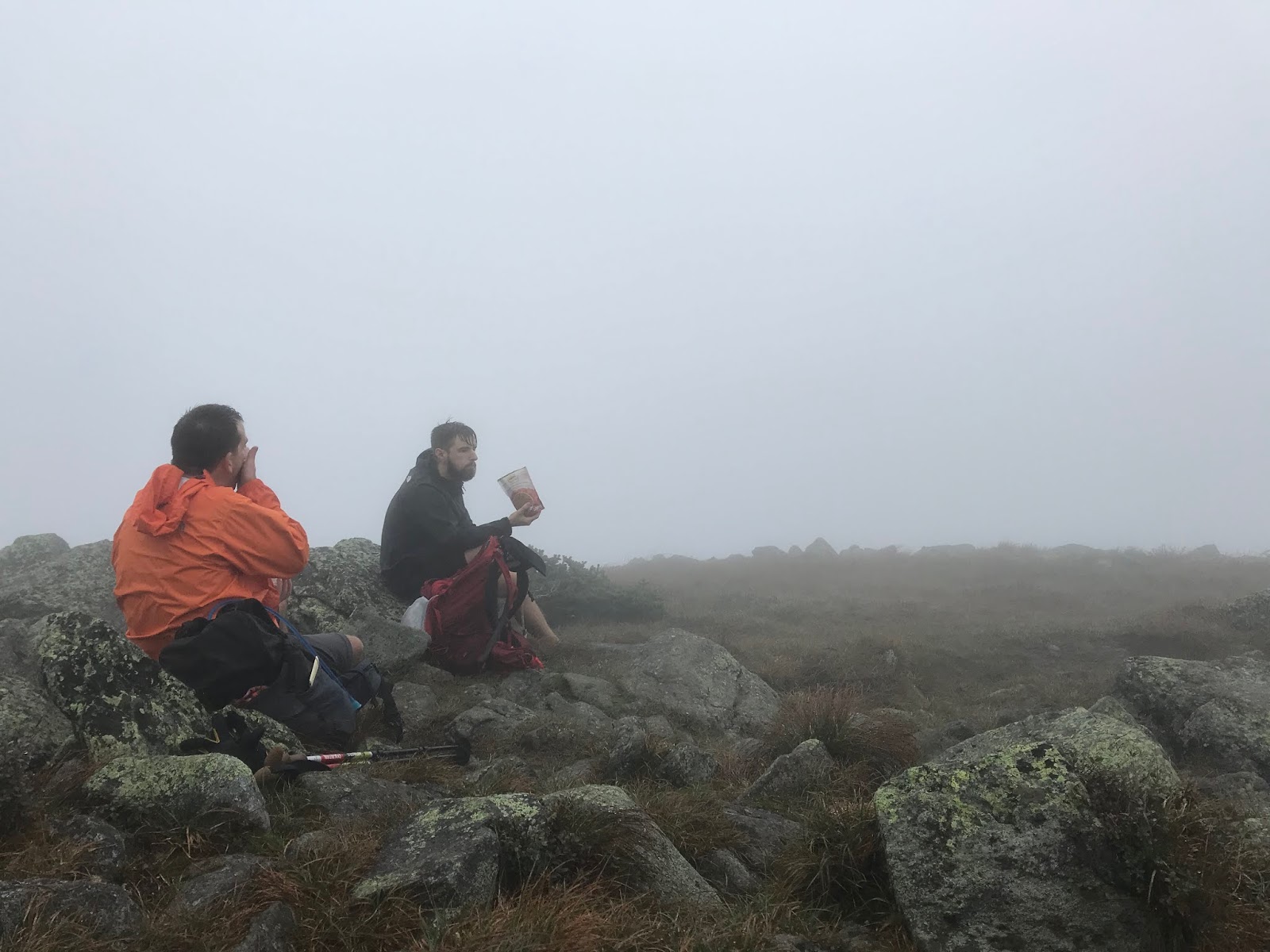
We tip-toed along, passing below the summits of Jefferson and Clay. Compared to every other hike this season, the trail was dead quiet (not really a super hiking day!) We finally got a break in the wind after passing the trail to head up Jefferson, and we took a chance to grab a snack.

We are always eating
Coming to Washington, we heard (but didn't see...  because fog....) the train, and walked under the tracks on our way to Crawford Path.

Can't miss an instagram moment!!
Despite the still cloudy weather, the hike to avoid Washington's peak was a good one. Some pretty decent rock footing, and the definite feeling that you are LITERALLY CLINGING TO THE SIDE OF A MOUNTAIN!!! Evan kept jokingly bringing up his need for the Helicopter evac, and (always fascinated by nature) thought about adding some wild mushrooms and berries to his diet to speed up the inevitable evacuation. This was very funny at the time.....!

Clinging, and snacking. 
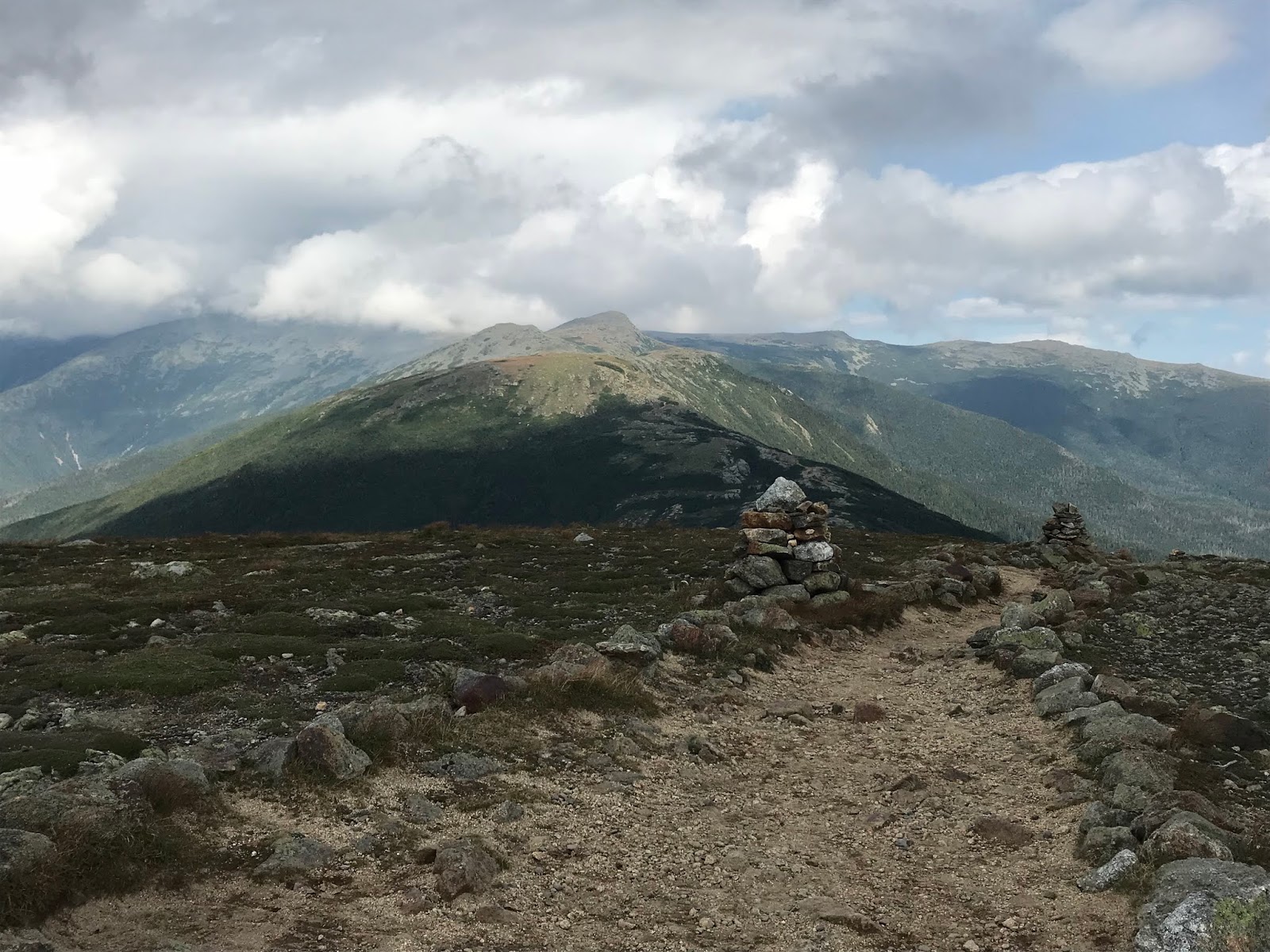
And then again (nobody is shocked!) We arrived at Lakes of the Clouds, and the damn sun came out! And the wind quit! And it was a million degrees and magical!!

So, from there.....

We killed Monroe (always a good one!)

Technically heading towards Franklin here
Evan literally RAN up Eisenhower!!!

THERE HE GOES!
And then, he waited for us a the top.

It's good to be young!
We saw adorable BIRDS!!

I love you
And we then skipped our way to Pierce.

Friends!!!
And made it!

Relaxing after a LONG DAY!
We LOVE the Southern peaks. They are just so much fun, and can totally save an otherwise tricky hike.
Just not ugly at all
We hobbled down through Narnia.

There is no forest prettier than the one on Crawford Path
And met Lee in the glorious parking lot for beers!!!
Literally so tired
No, this was technically not a "Traverse" but we still crushed a ton of mileage, bagged and tagged a bunch of peaks, did not die, and Evan and I had fun! (Eric was a little too worried about the conditions to have quite as much fun as we did.... he is a good adult.)

I was bloody!
After a good clean up, haha. 
The moral of the story here.
We aren't the most expert hikers in the universe, and would not be wishing to deal with conditions more challenging that we faced. As usual, we were well prepared with ample food and emergency gear, and kept a keen eye on our direction. (it would be far too easy to become disoriented in the bad visibility.) We did have a good hike. We stayed safe, and relatively unscathed. We managed to have good communication with the outside world, via texting/messenger. (don't count on that though!)
We were very happy to be able to experience this with Evan, and hope that we can manage all the peaks sometime in the near future!

Know this: if you decide to bypass peaks for safety, it is still a very long and challenging hike. Always have bail out options. Always have a plan. We discussed the safest choices a number of times, and if any of us had been out of shape, this hike would not have been viable!

Stats:
Milage-18.6

Elevation- 7,700 ft

Time: 13:40 (and honestly, you just have to except to have a pretty decent amount of stopped time. We had about 1:15, which included hut breaks, peeing, snacking, and having to engage in a huge safety summit while hanging off the side of Adams in the fog....!)

Challenge level- in the conditions we dealt with, I would call this extremely difficult. I am sure there are people (expert hikers, really experienced outdoor people) who may be extremely confident in the weather we dealt with. If you, like us, are normal people (and we happen to be relatively fit, and have appropriate safety gear) please use caution when dealing with any poor weather conditions in the White Mountains.


Signature