Showing posts with label Strange Decisions. Show all posts

Tuesday, November 6, 2018

Another summer goal completed! PR Bike ride.

Hey! I actually managed to get in a record breaking bike ride!

A long ride
I more or less squeaked this one in right before the cold, extremely rainy fall (and constant darkness) shut things down for the bike riding season.

Bike season was painfully short for me this year, which is something I plan to remember for next year. I got a late start because I had some post Boston running fun. THEN, we had summer traffic and road work (as in: roads fully torn up for weeks) that shut my shit down. I am just not that serious, or brave. I'm not entirely sure how to combat this issue, other than hope that the town doesn't pave yearly (and guess what, they do not.)

I completely blew my goal of fitting in some Green Machine group bike rides. This year, the timing was completely incompatible with my work schedule. I was basically just finishing work around the time that the rides finished up. (good for my business. terrible for getting bike miles in.)

During the Fall, Eric and I rode a few times and I felt pretty good. The biggest difference from a few years ago was my increase in courage, all thanks to the 2017 group rides. Once the traffic calmed down to a dull roar, instead of complete chaos, I was good to go.

Once late October rolled around, we basically said "screw it. let's get a decent length ride in." We planned a solid 35 mile route, which would have been distance PR for me.
Well as things turned out, we missed a turn and came in 0.4 miles short. Annoying, but it was such a great, confidence building ride that it was an overall win.

So close.... But not close enough.
So. Several days later, I had an afternoon off from work and I decided to take a solo ride to meet Eric at his work, in Portland.

This ride presented a few challenges:
-I do not believe I had ridden solo in years. Actual years.
-The weather was decent enough, but colder than I had ridden in (low 40's. plus wind)
-The route was one that would have me encountering significant traffic. And would require me to be aggressive in terms of taking lanes, and basically behaving like a vehicle (terrifying)

Luckily, we had previewed the first 15 miles of the route in our first long-ride attempt. The first stretch was the least trafficked, but the most hilly, and with the most dreadful pavement. So, I was glad to have been able to ride it with Eric and get a feel for the pretty hideous conditions. I concluded that once I managed that part, I just needed to woman up and deal with the traffic like a confident cyclist.

Which, believe it or not, I did.
(and I took zero pics to commemorate the journey....)

My biggest issue was with the cold, and wind. My feet froze pretty solid, but my hands stayed warm which was good (and surprising!)
I had to stop once to pee, but other than that I cruised along. I was super terrified that I was going to be so slow that I was going to get caught in Portland commuter traffic. Noooooooooo. (and no it's not exactly Boston, but there are still a lot of cars....)

Anyway, I made really solid time on 302, mostly because I was fear riding. "GREEN LIGHT!! HURRY!!!" and such. I reached Portland just as things were getting busy, but I confidently claimed my lanes so that I could make the appropriate left turns, and I really felt remarkably empowered (go me.)

I made it to Eric's work in 3:13, a total of 46.2 miles (solidly smashing my bike distance PR), before the sunset, and with only slightly frozen appendages. Between my short break, and the traffic lights I only had 8 minutes of stopped time, which seems pretty solid to me. While it was not a terribly hilly ride, coming in at just under 2k feet of elevation gain, it was long. And riding alone, with nobody to draft off of (yep, I'm lazy) a 14.4 MPH ride is SO GOOD for me! (especially at the end of a season when I rode like, 10 times.)

I made it!
I have to admit, that I enjoyed the experience. It was certainly well outside of my comfort zone, and to have such a successful experience was quite a confidence boost. I'm actually glad that I chose to do it alone. While I much prefer riding with others, doing it solo meant that I had to rely on my own (questionable?) skills. And I did it!!

Good job, Fiona
I was pretty tired afterwards, and my neck hurt and I was hungry. By the next day, I felt just fine and normal. Biking is funny like that.
I was pleased to get this done. There were a couple items on my summer goals list that went to shit, and I really wanted this one. And I got it! Success!


Signature

Tuesday, October 30, 2018

Hiking in the Pemigewasset Wilderness: Lincoln Woods/Wilderness/Bondcliff trails.

At some point during the hot, oppressively humid, and generally disgusting summer weather I began to think about fall hiking. Knowing that I was straight out at work until mid October I began to concoct a plan. I concluded that on October 27th, after having a few days to catch my breath post insanity, Eric and I would head to Lincoln to climb Bondcliff (and maybe peak bag Bond if the weather was good.) I locked the day down ages ago, really looking forward to a final long hike in ideal conditions.
Back in July, an October trip to the wilderness seemed great!
I was imagining cooler weather (at the time, and after such a hot summer, I was assuming 50's) amazing foliage, and a day to relax and enjoy the mountains.

Right.

The weather has a way of doing what it wants. And what it wanted to do was snow. And be really cold. And windy.

I tracked the forecast (as one does) and concluded that if we started early, we could reach the peak of Bondcliff and bail before things got ugly. (with 100 km per hour winds scheduled for 7PM there was NO WAY IN HELL that we were risking a late day.) The Lincoln, NH area appeared to be getting mostly rain, and it looked like we might see a bit of snow on our return trip to Maine.

Wishing to get an early start, and not really relishing the notion of yet another 1:30AM wake up time, we drove to Lincoln and stayed the night before. We love the "off" season, because it makes staying over a reasonable, and affordable option.
I avoided watching the 18 inning Sox game, and we awoke (somewhat exhausted) at 3:30 AM (basically when people were finishing up drinking beer/watching the game, and switching to drinking coffee/getting ready for the first day of the Maine deer hunting season.)

The weather was just fine. 33 degrees. No precipitation. No wind.
We drove to the Lincoln woods visitors center in the dark, paid our $5 to park with the other 3 cars, and made our way to the trailhead. The place was deserted. (just the way we like it!) But also not a day to get ruined out on the trail, and hope for other hikers to wander by and offer aid. So, with our safety first mindset firmly in place, off we headed into the dark.

The suspension bridge over the Pemigewasset River
And were immediately warned about the bothersome bear. (clearly, this photo was taken on the return trip...)
Watch out
Armed with our usual headlamps and such, we struck off on the Lincoln Woods trail for 2.9 miles. It was BONE FLAT, and we covered this section in less that an hour. It was a great way to warm up, and to figure out our layering strategy to stay dry/warm throughout this long, flat section of trail.

Typical dark start. 
Honestly, this was basically a walking path. Later in the day, despite the weather, we saw many usual walkers, families, and children strolling along this path. (so. very family friendly.)
This trail is an old railbed, which means you'll be seeing a lot or railroad ties, ironware, as well as remnants of old logging camps. When we made our return trip in the daylight, it was definitely interesting to look around and take in the history (although I'm a bit concerned that when we do the Pemi loop at some point, that we might all die of boredom during the miles of endless flat!!)

After the 2.9 initial miles, you go over a suspension bridge and the trail is no longer very bike friendly (or, bike legal.) The trail, at that time becomes the Wilderness Trail (with zero fanfare) and while it narrows slightly, is still completely flat. We really motored this whole section, averaging over 3 MPH (this would be a very easy section to run. but we carry too much stuff.)

We did have a bit of trouble finding the junction where the Bondcliff trail veers left around mile 4.8.

It would be helpful to have this trail marker where the trail turns left. But nope. (so don't turn left when you see this sign!!)

We came to what appeared to be a stream crossing, and, with our eyes being drawn across the brook to a "no camping" sign (very reflective off the headlamps) we crossed the icy stone brook (where I promptly slipped, dunked my whole foot, and had to do a hasty sock change.)
After puttering about for a bit, and consulting the map, we turned around. Thanks to the increasing daylight we were then able to see the sharp left turn (and the very, very faint light blue blazes that would continue to appear *sporadically* for the remainder of our trip.)

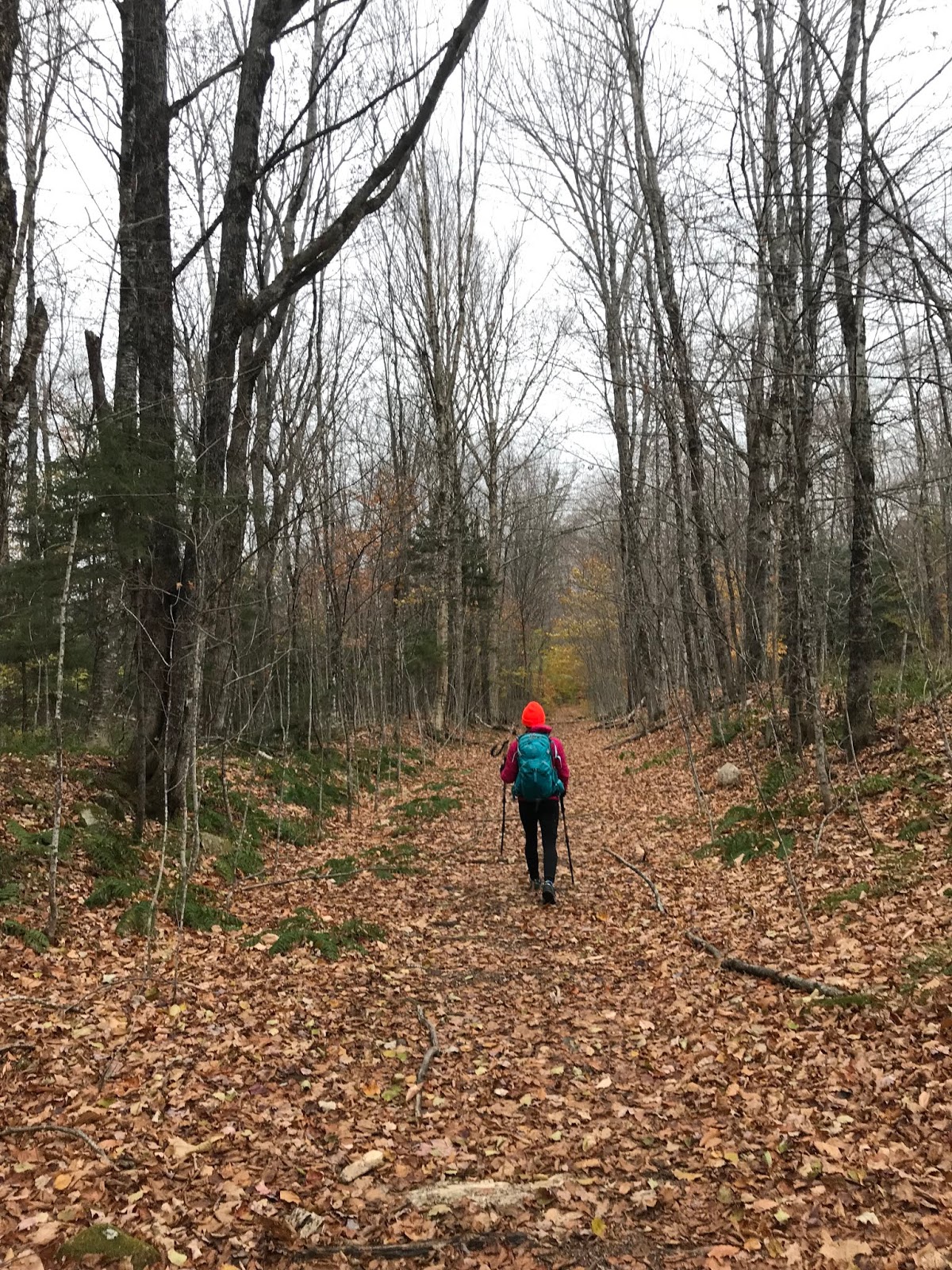
After that little misstep, we continued without issue. I will say though, that this stretch of trail was not well marked at all, at least to the more casual observer (which I am not, as I do not wish to become lost in the woods.) The trail was heavy with fallen leaves, and in some places you really needed to be quite observant about where you were going. Probably solid advice, no matter where you are hiking.


There were a couple miles of winding, very wooded trail with some fairly dry stream crossings. I imagine these could be problematic in seasons with snow melt, or heavy rain.

One of many stream crossings
Compared to what we have come to expect in the Whites, there were few rocks. (don't get me wrong. There were some. But nothing compared to the boulder city of Madison, etc)

Very typical stretch of the lower part of the Bondcliff Trail
Gradually, we began to find the remnants of a fairly big storm that the area had experienced several days before. While some of the White Mountain region got a few feet of snow, there were only a few inches here. And someone had kindly tramped it does for us!

Just a bit of snow
For the most part, despite the continued lack of blazes, the trail was easy to follow. There was a fairly twisting section at one point which may have been challenging to follow, if we were not following footsteps from the previous day. With that one exception, you essentially follow the narrow path.

As we climbed, the snow become deeper but was not at all problematic. It actually managed to nicely pad some of the rocks, which were surely buried underneath! While there were a couple steeper sections of the trail, they were fairly short lived. The hike is more of a slow and steady climb. You have just over 9 miles to reach 4,265 feet so you won't be redlining the whole thing.

Knowing that we were just ahead of a pretty major winter storm, when the wind took on an ominous feel we decided to play it safe and turn around (even though we were sooooo close. We probably had about a half mile climb left to go.) Oh well though, it is better to be the hikers who bail, than the hikers who need the heli evac (and even though Evan was not with us, our summer long "Heli Evac" chant certainly came up once or twice...)
Winter in full effect
The decent was straightforward and flew by. Before we knew it, we turned right onto the Wilderness/Lincoln Woods trail.
One still gets tired after a 17 mile day, even if some of it is flat!
We then proceeded to zip along for the 4.8 miles of bone flat superhighway back to our car.

Bone Flat Superhighway
With about a mile to go, the freezing precipitation began.
On a nice day, we would really have enjoyed the scenery more (that's going to be the plus side of the endless, pin straight, pancake flat final section of the loop. We will at least have things to look at!) We chose not to take the .4 mile detour to see Franconia Falls, which we have heard is fantastic. We basically just put our heads down, and trudged on. (and looked at the bridges, because I love them.)

I've never met a bridge that I didn't want to take a crappy photo of
After going the whole day with zero human sightings, the floodgates opened and we saw a ton of people. Clearly, the Lincoln Woods Trail is very popular for the family walk crowd, even in crap weather, and I imagine it is a complete zoo in the summer. I believe there are some swimming holes in the river, that are very popular.

Much of the Lincoln Woods trail is next to the river
The temperature remained at freezing all day, (although it was much colder when we were close to the summit.) Basically, shit was frozen.

Pretty though
We made it back, uneaten by the bear.

And honestly, with the weather rapidly worsening, we were not disappointed that we had turned back.

You can see the ice on my hat


The drive home was a shit show of epic proportions. The end.

Fucking aggressive 

Stats:
Time: 7 hours 10 minutes (included around 30 minutes of trail location in the dark....)
Mileage: 16.9
Elevation gain: 2,630
Challenge level: Easy/Moderate. The almost 10 miles of flat made the one of the most straightforward hikes we have done. The climb itself was also pretty benign, although we missed the one lone scramble at the end. I suppose I must give this hike a moderate rating due to the distance, and the need to be extra attentive to the route at times. However, I would certainly give it an easy for terrain. You could most definitely bring your non-hiking friends on the first 4.8 miles of this trail with zero issue. 

Signature

Thursday, October 4, 2018

Camping after a 30 year hiatus, Katahdin Stream Campground, September 2018

When I was a kid, my sister and parents and I would go camping frequently.

Not like, glamping, with a cabin, or a Winnebago, but real old fashioned camping in a tent with meals cooked over the fire.
I have very fond memories of these times (especially sneakily feeding the squirrels and gray jays at Cobscook Bay) BUT THAT ALL CHANGED, ON ONE FATEFUL TRIP.

What happened? Well, it snowed. And not just a little but like a foot. It was cold. We were little kids. I basically hated it so much that I quit camping for my whole life (my Mom did too, she was done after that nonsense) (oh, and Lee remembers it somewhat differently than we do. "it snowed a little" he claims "and it was kind of cold. what's wrong with that??" DEATH, Lee. DEATH is what is wrong!)
Well, now I might be able to suck it up but at 8 years old it felt like quite the disaster (and it was god damned ridiculously cold.)

Lee still goes camping all the time. #mental
And so does Eric.
And so do my cousins.
They always come home stinky like a fire, full of fun stories, and bursting with glee.
(this has done very little to change my standpoint. to me, camping is staying in a sketchy hotel.)

For a moment, we should reflect upon the fact that 10 years ago I really hated running, and could not imagine a worse way to spend my time.
Things change.
So I know to keep an open mind.

So all of a sudden, after our Presidential Traverse trip with Evan last month, we began to talk camping.
The motivation (for me, anyway) was to be able to experience Katahdin, and Baxter State Park. I had never been there, and I was definitely interested in seeing that part of Maine. And walking up hill, as one does.

We talked about possibly getting a posh cabin (but they were booked for the rest of my life) so Lee suggested a lean to. Since he has ample photos of every camping trip he has ever been on, he was able to provide photo evidence of said lean to. Which looked quite cozy.

Cozy Lean To
Knowing how long sites last in Baxter (NOT long) we booked a couple sites at Katahdin Stream Campground. Conveniently located at the Hunt Tail head, the exact place where we intended to begin our hike. This was a bit of a risk, because none of us had any idea if we could actually manage to get time off from work (clearly we did. a bit of a miracle, to be honest.)

The trip was nuts.
Evan worked an overnight until 8AM on Wednesday and then drove straight to Maine.
I had to work until 1:30 on Wednesday.
Somehow, Eric managed to get the day off, but was definitely taking calls the whole drive up.
BUT WE PULLED IT OFF!! (departing on Wednesday, at 1:30 PM)
(and I had to be back by 1:00 on Friday to work, and Evan had to drive straight home for another night shift. But we decided to worry about that later...)

Off we went! It's just over 4 hours to Baxter, and we beat the rain by enough to be able to unload, and get dinner cooking.
(and yes, it rained. but it did not snow! and it was like, 75 so NOT cold.)

We made it!
We split a 5 person lean to between 3 of us, which meant we had enough room to spread out a bit. (Lee got his own space because he is a party animal. or so that we didn't need to be sardines. you choose)

Getting cozy
We were able to make a fire, cook 99% of dinner (which was amazing) and have all our things set up before the real storm began.

Just before the storm....
After we ate, under cover of the lean to, pinned down the Guido Tent due to WIND! and RAIN!(which is like a tent that covers a picnic table that has a funny name in our family because #reasons) , we cashed it in and went to bed. It was late anyway, and had been a long day!
I had a super thick sleeping pad, and with the sound of the rain, the thunder, and the roaring stream in the background, I slept quite well!! (no rain the second night, but still nice stream noise)

There is the stream. 
The next morning, we got up and ate and hiked!! (but this story has been told)

When we got back from hiking I tried to start a fire.
And failed. I blame the fact that everything was damp (so I got a lighter, and lit that shit up.)

I am NOT the firestarter
We sat around my successfully lit (and often stoked) fire, eating sardines and huge blocks of cheese, and guacamole, and bacon and pancakes, and apple crisp (no shit. we ate like kings) I REALLY enjoyed tossing everything into the fire. Hay rope. Plates. Sardines. Cork. Nothing was safe. The fire was my favorite.

Proof. It's lit. 
We watched squirrels steal our belongings.
One spent a night in Lee's truck, and wreaked havoc on our snacks. Little fucker.

He found this cork... And ate it. OK. And then I burned it (cork, not wildlife. relax)
We had some very amusing conversation about trail names. I was not aware that trail names were a thing until a couple years ago. Now I am quite interested and amused by them.

The winners of the day:
-BushBaby (we need details, did you have a baby in a bush?)
-Box Turtle (why?)
-Terminator (awesome)
-SwampAss (well, we aren't sure if that is his name.... the others are real though!)

On the drive out, we saw the view that should have greeted us had the weather not been so ornery.

Impressive
It is safe to say that my first foray into camping after a lengthy hiatus was a success.
Several things contributed:

-Mostly excellent weather, no bugs
-Suitable accommodations (very pleasant)
-EXCELLENT food, which was a bit of work, but all worth it
-GREAT COMPANY!! Probably the most key factor in all of this.

Tips for wimps:
-Get comfy things to sleep on. Be posh. Don't suffer. Bring your pillow. Your jammies. The usual.
-Bring lots of lighting, I had a little lamp, a headlamp and a flashlight.
-Obviously bring a ton of amazing food. Don't eat sad ramen.
-Pack extra warm clothing. Even if you don't need it, it's nice to know that you won't freeze!
-Take your friends.

I'm not quite ready to buy a tent, and head into the back country (ummm. no) But I had a terrific time, and can't wait to try out my camping courage again next year.


Signature

Monday, September 10, 2018

Presidential Traverse Attempt, September 3rd 2018

After YEARS of wishing, and hoping, and planning (or maybe weeks.... but who's counting) Evan, Eric and I all managed to get a day off together, with the intention of conquering the traverse.

Even the weather seemed ready to cooperate. 6 hours out, we were looking at some possible morning showers, a solid sunny day with warm temps, and some thunderstorms that might arrive after we expected to finish up. (so no real concerns!) We all felt excited, unreasonably well prepared, and ready to take it on!!

As usual, we got up really horribly early. (1:30!!) The early hour didn't feel bad at all. We were all quite excited, feeling good, and ready to gooooo!

For the first time ever, we arrived at the Appalachia parking lot early, and began our hike at 3:20 (10 min ahead of schedule!!) The lot was crowded, but not nearly as badly as the last time we were there in July. It was extremely warm (70) and very humid, but clear.

Typical "start" pic!
The owls greeted us, and for the first half mile they were very active and talkative. It was a pretty neat way to get the day started!

Since Eric and I have taken Valley Way twice this year, we chose the Watson Path option.

Watson proved to be a challenge, which was not unexpected. While it cuts off a bit of mileage, and eliminates the need for the out-and-back from Madison Hut to the Summit, it is God Damn aggressive.  We aren't sad that we did it, but now we can tell you to not bother with it, especially if it is dark.

Looking down at Eric and Evan while heading up Watson Path
And dark it was. We played "find the cairn" because getting lost on the first peak is lame. (getting lost on ANY peak is LAME.)

That's me, looking for a cairn!
AND. This should come a a shock to nobody. As soon as dawn broke, we realized we were completely stuck in the clouds.

For Christ Sake
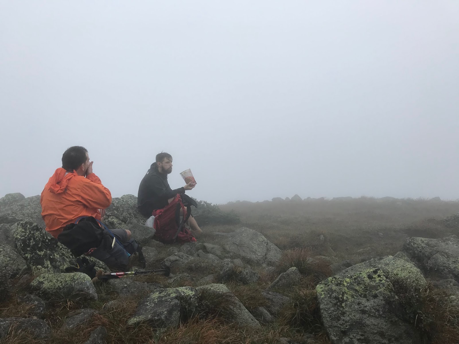
We summited Madison and it was a damp crap fest.

Happy in the crap fest, haha!
And then it began to rain. And it was 40 MPH wind. And I fell down, skidded into a crevice and got rather shaken up.

We hobbled into the Hut, in a bit of a mess. Well, Evan seemed to be feeling good. But the old people were feeling that the conditions needed to be discussed.
We took a bit of time and checked out the forecast (it looked crummy, 50 degrees, stupid wind, low visibility.) The one thing that was a positive, was that the rain was supposed to stop, and it wasn't freezing  Looking out the hut windows, at the pea soup conditions we did NOT feel encouraged, but with a plan to take it very slow and safe, we headed to Adams.

Adams was a mess.
We stopped prior to summiting and discussed the pros and cons of continuing. As motivated, and excited as we were to complete the hike, safety trumps all. We concluded that with the fitness we had, with the items we had brought, and the (multiple) back-up and bail-out plans in place, we could continue with caution and reassess as needed.

MESS
At one point, even thought we continued to play "find the cairn" we lost the one in front of us (but could see the previous one #safety.) Evan was in the lead, not far ahead, when the clouds completely obscured him from my and Eric's vision. We were all like "OK. STOP. DANGER." The wind blew the cloud away, just enough for Eric to get a line of sight on the next cairn, which was in a rather unexpected place. So, we continued! Happily!

SO HAPPY DAMNIT
From there, it was more of the same. About the time that we hit the Col between Adams and Jefferson, we were being bombarded by ridiculous wind, and combined with the still very slick conditions, summiting Jefferson seemed stupid. We hunkered down behind a huge rock and came up with a plan B.

From behind the large rock
Rather than just calling it a day, and having Lee pick us up from the base of Washington, we decided to avoid summits until the weather improved. (or, until we got to Washington and decided to bail!!) This meant the end of our real traverse attempt, but left the door open for a decent long hike. The climb over Madison and Adams to Jefferson is always a tedious stretch, but the conditions were making it a bit more of an issue. I think if we had made it up Jefferson, we probably would have bailed early.
We DO NOT wish to be the people who casually go hiking, and need helicopter evacuation. Evan especially did not want this, as he had not purchased the Fish and Game Department Hike Safe Card (which is sort of like hiking insurance, more or less!) (and honestly, don't get a heli evac. just don't.)
Since it was complete crap out I kept shouting encouraging statements, in between bouts of falling down and getting very angry. I was like "you GUYS!!! We just need RELENTLESS FORWARD COMMOTION!!!!" (you had to be there. it was very appropriate, given the situation!)

We tip-toed along, passing below the summits of Jefferson and Clay. Compared to every other hike this season, the trail was dead quiet (not really a super hiking day!) We finally got a break in the wind after passing the trail to head up Jefferson, and we took a chance to grab a snack.

We are always eating
Coming to Washington, we heard (but didn't see...  because fog....) the train, and walked under the tracks on our way to Crawford Path.

Can't miss an instagram moment!!
Despite the still cloudy weather, the hike to avoid Washington's peak was a good one. Some pretty decent rock footing, and the definite feeling that you are LITERALLY CLINGING TO THE SIDE OF A MOUNTAIN!!! Evan kept jokingly bringing up his need for the Helicopter evac, and (always fascinated by nature) thought about adding some wild mushrooms and berries to his diet to speed up the inevitable evacuation. This was very funny at the time.....!

Clinging, and snacking. 
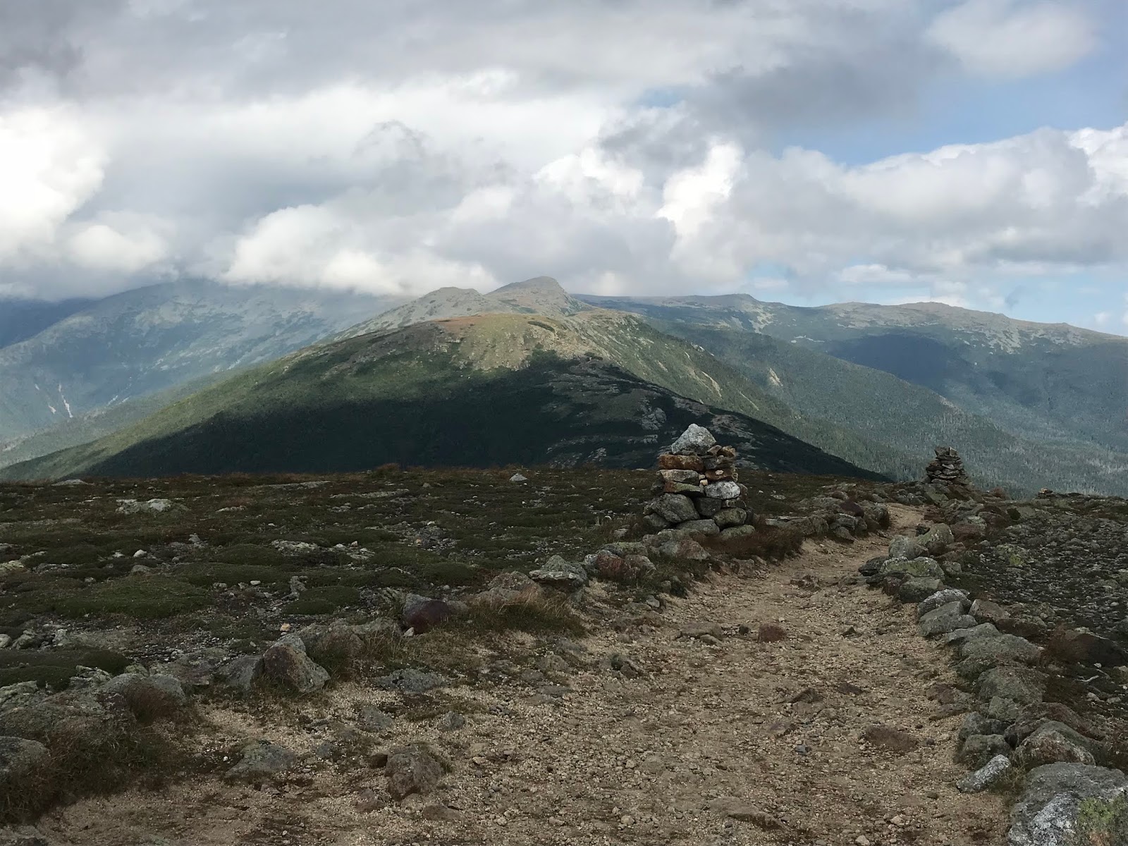
And then again (nobody is shocked!) We arrived at Lakes of the Clouds, and the damn sun came out! And the wind quit! And it was a million degrees and magical!!

So, from there.....

We killed Monroe (always a good one!)

Technically heading towards Franklin here
Evan literally RAN up Eisenhower!!!

THERE HE GOES!
And then, he waited for us a the top.

It's good to be young!
We saw adorable BIRDS!!

I love you
And we then skipped our way to Pierce.

Friends!!!
And made it!

Relaxing after a LONG DAY!
We LOVE the Southern peaks. They are just so much fun, and can totally save an otherwise tricky hike.
Just not ugly at all
We hobbled down through Narnia.

There is no forest prettier than the one on Crawford Path
And met Lee in the glorious parking lot for beers!!!
Literally so tired
No, this was technically not a "Traverse" but we still crushed a ton of mileage, bagged and tagged a bunch of peaks, did not die, and Evan and I had fun! (Eric was a little too worried about the conditions to have quite as much fun as we did.... he is a good adult.)

I was bloody!
After a good clean up, haha. 
The moral of the story here.
We aren't the most expert hikers in the universe, and would not be wishing to deal with conditions more challenging that we faced. As usual, we were well prepared with ample food and emergency gear, and kept a keen eye on our direction. (it would be far too easy to become disoriented in the bad visibility.) We did have a good hike. We stayed safe, and relatively unscathed. We managed to have good communication with the outside world, via texting/messenger. (don't count on that though!)
We were very happy to be able to experience this with Evan, and hope that we can manage all the peaks sometime in the near future!

Know this: if you decide to bypass peaks for safety, it is still a very long and challenging hike. Always have bail out options. Always have a plan. We discussed the safest choices a number of times, and if any of us had been out of shape, this hike would not have been viable!

Stats:
Milage-18.6

Elevation- 7,700 ft

Time: 13:40 (and honestly, you just have to except to have a pretty decent amount of stopped time. We had about 1:15, which included hut breaks, peeing, snacking, and having to engage in a huge safety summit while hanging off the side of Adams in the fog....!)

Challenge level- in the conditions we dealt with, I would call this extremely difficult. I am sure there are people (expert hikers, really experienced outdoor people) who may be extremely confident in the weather we dealt with. If you, like us, are normal people (and we happen to be relatively fit, and have appropriate safety gear) please use caution when dealing with any poor weather conditions in the White Mountains.


Signature