Showing posts with label White Mountains. Show all posts

Sunday, July 26, 2020

Owl's Head: July 25th 2020

We live in the age of Instagram. 
Activities can only be considered successful, and interesting if there is a pretty (and perhaps heavily filtered) photo to prove your accomplishment. 

As I contemplated the many (many) complaints that I had heard about hiking Owl's Head, the biggest complaint was certainly the lack of splendor. 
No photo ops. 
No magnificent summit to pose on with friends and family. 
No bang for your buck. 

Listen. I'm not about to get all profound. But I really do not believe that success is measured in instagram likes. You can enjoy something without the carefully curated photo op.  
(and you can also enjoy the bejeebus out of sharing your adventures! Heaven knows I do. But I live for the adventure, not for the likes....)

That being said. Go like the hell out of our new YouTube Channel!! Give us SO MANY LIKES (I'm such a study in contrasts!)
Here is the progression: Our YouTube skills progress from BAD, to OK and we hope to get to DECENT. (but don't hold your breath.)

Anyway.
As we embarked on out quest to tag Owl's Head early on the morning of July 26th, I was fully prepared to suffer. I doubted that I would hate the hike, as I tend to enjoy the oddball adventures. But, I had my doubts about liking it at all.  Mostly, the things on my mind were my concerns about the potential tackling of our first bushwhack (more on that later) and my hopes that the water level readings I was seeing were correct . My biggest fear regarding this hike was NOT the low value summit, but coming to the first river crossing and having my dog swept away by the current. Luckily, it's easy enough to get the info you need about such things, and I was cautiously optimistic.

We arrived at the Lincoln Woods Trailhead before 5:30AM to find it jam packed full. We easily found road parking about 0.25 miles away, but knew it was bound to be a busy day. 

Our hike began as we knew it would, on the bone flat Lincoln Woods Trail. 

I mean.... How can you be mad about this?? #easy

At mile 2.8 we took a left onto the Black Pond Trail. I had researched the Black Pond Bushwack, and knew it would cut a bit of mileage off the hike (plus 2 major crossings and some odds-and-ends stream crossings) Armed with knowledge, the Gaia app locked and loaded, and a map and compass (although a map isn't terribly useful in this situation) we proceeded on a pretty obvious herd path. 

Which promptly vanished into the woods. 
Feeling 100% uneasy about this (even with Gaia in hand) we bailed and got the hell out. No point in flapping around in the woods all day. 
I'm not going to lie. The detour was worth it, as it was lovely. 
And it was also good to bail. If your gut tells you no, listen. 


OK. So with and extra 2 miles already in hand, we were officially off. 

I highly recommend sticking to the standard route (Lincoln Woods, Franconia Brook Trail, Lincoln Brook Trail, Owl's Head Trail) as you can totally zone out and go into autopilot.

So. It's really as easy as that. Take the bone flat super highways of Lincoln Woods and Franconia Brook. (there are a couple baby crossings on Franconia Brook) Bang a left onto Lincoln Brook. Shortly, you will hit the major river crossing (this is the one to worry about in high water, for sure.)

Big, wide river. No shoes required. 

While there are a few pointless ups and downs on this Lincoln Brook Trail, it is still extremely straightforward. After your second "real" river crossing, you will see where the Black Pond Bushwhack comes out on the left. I can see the reason of the popularity behind this *trail*. You do avoid two of the big crossings, including what is clearly the most daunting. (even though it was a low water day, we needed to wade across in shin deep water. very pleasant, it was hot.)

You spend 3.4 total miles on Lincoln Brook trail before coming to the "trail head" for Owl's Head. 
There is no sign.
On this day, there were two obvious rock cairns on the right, to mark this turn. 

Don't blink. Trail head.

Because I was keeping an eye open for them, they seemed obvious. However, 50% of the people we later met said they blew right past them (the mileage on my GPS measured the trailhead at 3.3 miles- but I do not trust devices 100% in such thick woods.) 

From there, yes. You go straight up. You gain like, 1500 feet in one mile. 

While it is a grind, it's not awful. It's a cross between Hancock and Flume slide. We all enjoyed it, if you want to know the truth. Plus, you FINALLY get your instagram photo!! (I took one! Believe me, I am not above the insta!)

INSTAGRAM PIC

You are NOT "there" once you reach the top of the slide. You wind, and wind, and wind through the lovely woods for about .25 before you find an unassuming cairn which marks the top. 

Summit

As we made our way through the final .10 of the trail, we crossed paths with another hiker. "Did you love the epic summit?" I asked him. He laughed and said "Getting to the top of this mountain is epic enough."

That. Is. Correct. 

We did take the Brutus Bushwhack on the way down (at the BIG boulder- take a left. It is indeed a herd path and completely bypasses the slide.) 

From there, we happily retraced our steps and reentered the CHAOS of humanity once we reached Lincoln Wood Trail. THRONGS of people. (we saw fewer than a dozen people heading to Owl's head. Then at least 100 in the final mile.)
Honestly, it's weird being alone in the wilderness all day, and then return to the screaming mayhem of people (who apparently think that being outdoors excuses all kinds of bad behavior....?)

DONE

We checked back on at our car 9:50 from when we began, and the insane traffic was just too much, so off we went. 

This is one that I'm glad to have been able to check off the list. You really do need decent day to do this one- I would NOT suggest heading out after major rain, if there are storms in the forecast, or in the early spring when snow melt is an issue. 

You can easily find water data Here
People who I have talked to say that the crossings are difficult for humans when the levels are above 200, and not recommended for dogs until they are 50/60 (it was about 150 the day we went- and we all felt very, very comfortable.) 

One more word of wisdom. 
If you plan to hike ANY trails get a map, learn to use them. Get the White Mountain Guide, read it. Use internet groups to assist, but be responsible for educating yourself. If you choose to use your phone for any type of navigation, prepare for it to die and have a back up plan. (and pack your damn 10 essentials!!)

All 3 of us were pretty worn out after this adventure, but I'm feeling satisfied with the whole experience. Yes, it is a long way to walk for a 4025' hill. But getting to the summit is always half- or 99.9% of the fun, and if you love a good (FLAT) woods walk, you will love this one. 

Even Ellington was tired!!

I liked you Owl's Head. 
Next time (next time??) I will pack light, and run a good bit of this as it is a trail runners dream. I'm actually weirdly excited about trying that out. I like to be in the wilderness. I like the path less traveled. I do not like Lincoln Woods Trail in July......

Stats:
-21 miles
-3440 ft elevation gain
-9:50 min total time (at LEAST 30 min stopped time. We/Ellie need to eat.) 
-Difficulty: EASY/HARD/EASY
(don't be an idiot and try to do this one if you don't have your shit together. there is no cell service. that's all most people need to know :-)) 


Thursday, November 7, 2019

Mt Moosilaukee: #29 of NH 48 August 31, 2019

In a very, very delayed hike report Eric, Ellie and I wrapped up the summer season of hiking with Mt. Moosilauke on August 31st.

We were nervous about parking because I had read reposts about people having to park a mile or more away from the trailhead. We got there late (8:00) but lucked out, and we were the 13th car to park on the road. For this trail, you can't park right smack at the trailhead, but instead, park along the road that leads to the Lodge (and trailhead too. all roads lead to the trail.)

Gorge Brook Trail for us
We headed out in some perfect weather. The really hot, summer weather had moved along, but it was still quite comfortable. The sun was shining, and it was shaping up to be a solid day.

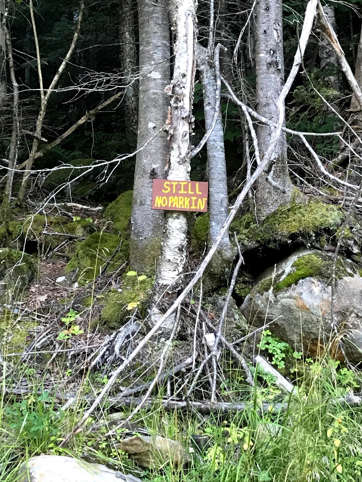
After easily locating the trail (as well as an area that is NOT to be used for parking) we were on our way.

Just don't park here
While the first stretch was slightly steep, and a little rocky, it moderates quickly.

Slight steep at the start
Right off the top, we met many youth on their way down from a sunrise excursion. There were quite a few of them- evidently, it was orientation weekend for Dartmouth, and this event was being celebrated in the Lodge.

The number one thing that Eric and I noticed during this hike was the excellent trail condition. Basically, one could not hope for a more pristine trail. The footing was lovely, the signage was just adorable, and the hike was surprisingly straightforward for a 4k footer.

I loved the unusual signs

And do you get a nicer trail than this?? Rarely.
Right around mile 2, we popped up over a few trees for a nice view.

Hello lovely day!!!

This was a trail with elevation gain (obviously) but it was broken up so nicely by flatter sections, that it never felt like torment.

Ellie loved it too
Honestly, the entire hike was met with a lot of praise from us. Great trail, very manageable, nothing tricky, and such perfect weather!

More scenic overlooks around mile 3.

Pretty
About 15 minutes after the previous shot was taken, we came across a cairn big enough to make a hiker ahead of us question whether or not we had reached the summit. While we had not, perhaps this pile of stones could be considered misleading.


This is not the summit

The really cute signage continued, as we moved higher.

Yes, I was a fan
Even though we had a little ways to go before the summit, things were opening up nicely and the views became better and better.


We have climbed almost ALL OF YOU (well. not really)
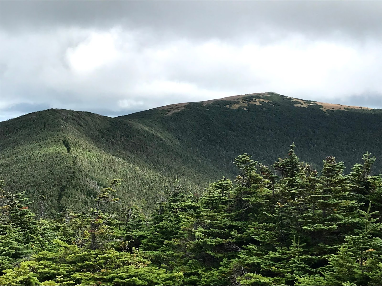
We could see the summit in the distance, and (much to our dismay!) we could also see the clouds. Kind of a lousy break. While it was not socked in at the summit, it was indeed overcast and VERY windy and cold.


The final push!
It was a very busy summit. People coming in from all sides, which is to be expected on the last big weekend of the summer.


Ellie thought it was too cold for this. 
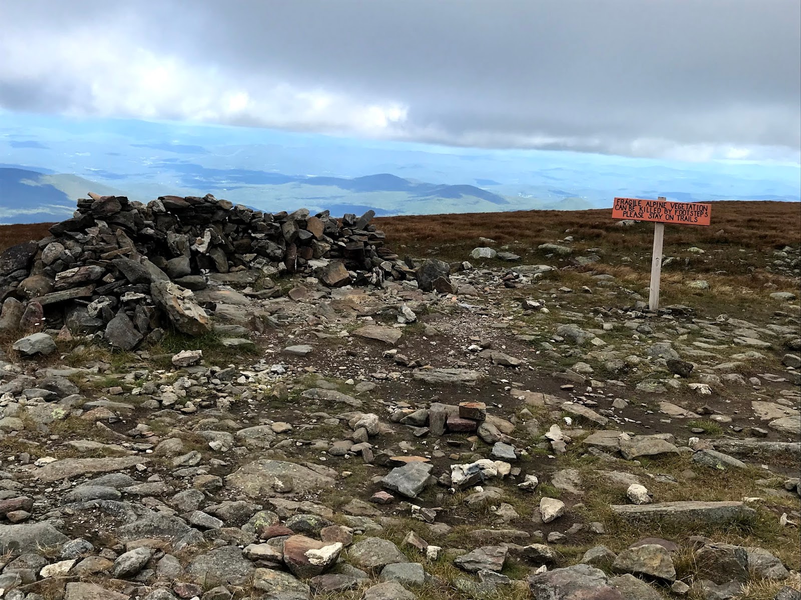
 At the summit there were several rock walls (so thoughtfully placed) one of which we huddled behind for a bit while we had a snack.

Windblock


It was not warm
Yeah. Too cold to hang. Certainly a jarring temp change in the final 1/4 mile or so (a good way to remind people to never leave the layers at home, even in august!)
We headed out via Carriage Road, in order to see a different route on descent.

Just look at that trail. And those cairns! Not gonna get lost here. 
Needless to say..... The chatter about the perfect trail never ceased. You just don't see such perfection all that often! (here's the thing- there are many, many thoughtfully maintained trails in the White's. But this one was honest to God easy. And you rarely get THAT!)

We took a quick out and back to south peak for another view.


Off we go to South Peak!
From here, we could easily see where we just had been!

It was nice of the cloud to lift for a moment!

Really not a bad day over here
Still windy. Look at Ellie's ear
And then, down we went through a tiny forest.

Always taking the tiny tree pics

The Carriage road trail used to be literally a Carriage road, as there was once a hotel on the top of this mountain. I mean seriously, how much more "The Shining" could we possible get here??

Take your Carriage to the Overlook......
The final leg of our journey was on the Snapper trail, which is a great name for a trail, if you ask me.


From here, we could easily hear the bedlam that accompanied the orientation weekend festivities at the Lodge. There was quite a bit of bass pumping music, and with the way sound carries, we basically felt that we were in the midst of things (ideal? no. reality? yes.)

When it comes to water crossings, we encountered none that were not nicely taken care of by some sort of bridge. I'm sure that there would be some extra h2o here and there during the spring melt, but all "major" crossings seem to be covered.

Obligatory bridge pic
So anyway! We made it down, and the sun came out. Typical.

Whatever
At this point, cars were parked for an actual mile along the road. It was insane. We parked out butts in our chairs and met the entire Northeaster Cross Country team when they got dropped off. It was a bit of a madhouse actually.

This goes on, and on, and on. 
This ended up being our final 4k footer of the summer season. It was a great way to finish up- a super straightforward hike, with an excellent view. Nothing sketchy, technical, or brutally challenging at all. I must admit, this is a hill that I would suggest for someone early on in the 48 4k journey.

Stats:
Strava data: (we take this with a grain of salt) 
-elevation climbed: 2,676
-miles covered: 8.3
-elapsed time: 4:31 (a solid, solid 30/40 minutes minimum of faffing along today.)

Difficulty: Very little. A SOLID choice for 4k footer once you feel comfortable covering mileage. Excellent signage, lovely trails, perfect conditions. You will never, ever question where you are on this trail. Nothing technical, nothing horrifically steep. Exposed summit could be dreadful on a day with heinous weather, otherwise would be a splendid choice. 

Views: Great views even with clouds 

Bugs: Nope but honestly, it was too late season for most bugs

Dog friendly trail? Absolutely 

Wednesday, August 14, 2019

Wildcat D through A: August 10 2019

All season we have had good weather. And we were promised more for this past weekend. With MUCH DELIGHT we eagerly planned to get to Isolation on Saturday, with more to come on Sunday. Very excited, we love the lovely sunny weather in the 70's, and 60's up on the hill.

BUT NO, THAT IS NOT WHAT HAPPENED.

Saturday morning, 5 AM, RAINING. The mountain forecast suddenly looked piss poor, with high winds coming off Washington, rain, and pop up Thunder.
Well, that sounded excellent. NOT.

So, plan B. Hit the Cats and check them off the list. Below treeline, much safer, trail options, etc. So off went.

We parked at the $5 Glen Ellis Falls Lot, on Route 16 just after the Pinkham Notch Visitors Center. At 7:30, it was virtually empty (at 2:30, completely full.)

The weather was crabby. Low, dark clouds. Very cool (in the 50's) and you could hear the wind on the Washington side of the road. Fun, fun.
So, as we went through the tunnel that takes you under Rt 16, and we crossed the (very low) Ellis River, we felt we had made a good choice to pass on Isolation. There's always a better day for above treeline nonsense.

Anyway. Up Wildcat Ridge Trail we went.
And yes, I mean UP. Jesus H.

First you up some normal rocks

Then some bigger rocks

Quickly, you get your first view (Washington is socked in)
Anyway. You go up more
You come to another place to see Washington in the clouds

Alternate View
And just for fun, you go up MORE!!!!
And eventually, 2 miles in, you come to Wildcat D (which is a peak with a viewing area, just past the gondola)

Hey, we can see a little something which is good!!
So the two miles of Wildcat Ridge trail to the D peak are no joke. I feel like the Cats are the peaks nobody bothers talking about, as everyone is bagging and tagging the presis, or more interesting peaks. Let me warn you, this is NOT the trail to do for your first 4k footer!!!
The good thing about the trail?
-never a dull moment
-not many other hikers
-well marked!!!
-good exercise
-a good ass kicking
-when it is over

I mean, you basically gain 2k elevation in the first two miles. So use that as your cautionary tale.

So from there, more Wildcat Ridge Trail to the A summit.
Of course, there are quite a few ups and downs, as one must deal with Summits B and C.


Onward!!! Into the rain!!!

 It is about 2 miles in between summits and continues to be NOT dull. Plus, it kept raining. It happens, but it is dumb.

Thrilled
We found the very casual peak of Wildcat A, tucked amongst some trees.

Hi
For a hot minute, the sun came out and we almost had a view of the Carters!!!

A really nice moment!!!!

 However... soon enough we were back into the trees and back into the rain.

Gloom
We didn't like the sound of descending the two miles from peak D to the lot.
Luckily, there is an option.

YAYYY Take the gondola down!!!! JK. We did not. Also- those clouds? THUNDER.
But you CAN take these trails down, and you can also take them up (and YES, it does COUNT!) If you want to cut about 90% of the crap out of the cats, just take the ski trail. It is wicked boring, but wicked safe (and since I have my eye on redlining, I'm glad we took the Ridge trail. but only for that reason, haha!!)

God damn super highway

Love the lovely ski trail
 Just when we thought we were in the clear, we heard a HUGE RUMBLE OF THUNDER.
SHIT.
We looked at one another. "LET'S RUN" we cried! As we dashed madly down the mountain. Just in the nick of time we made it to the ski lodge, and took cover for 20 or so minutes while the skies opened up.
There was no way we were getting a ride back to the car on this particular day (grouchy looking tourists with tantrum children do not want to give hikers a lift!) So we hoofed it back down death trap route 16.

Luckily, at Pinkham one is able to connect to the Lost Pond trail (which is kind of a disaster after the first little stretch.) Regardless, nobody should walk on Rt 16.

On cue, the sun came out. 
About a mile or so of walking, and we made it back.

DONE
Don't let the sunny pic fool you. It was still raining!!!! Ridiculous!

Absolutely the most challenging hike of the season. You legit need some miles under your belt before attempting this trail (or, take the ski trail. this really eliminates much/most of the hardship!!)
A crummy weather day in the mountains is still a good day, so despite all my bitching I still had a nice time with my lovely husband, and terrific dog (who loved her day!!)

Plus, this checked #23 and #24 off the list. Officially half way there!!!

Strava data: (we take this with a grain of salt) 
-elevation climbed: 3,826
-miles covered: 10.5
-elapsed time: 6:51

Difficulty: Strenuous. Certainly a trail that will wear you right out. However, my belief is if one was to stick to the ski trail this would rank as moderate. 

Views: Several spots within the first mile, nice view of Washington from the ski trails, and the observation deck. And a good look at the Carters from the A peak view point. 

Bugs: Nope

Dog friendly trail? Ish. Our dog loved it but she cray. Awfully steep at times, could be tough for a wimpy canine friend. 

Signature