Thursday, October 20, 2022

Tuckerman's Ravine and Boott Spur with Ellie

Way back this summer, on August 14th, Eric was taking a Wilderness first Aid class at Pinkham Notch. Ellie and I were feeling like it was a good day for a hike, and decided to take a day to hike on the path less traveled. 

The plan: 
-Tuckerman's Ravine, but only to the ravine. I had never been there, and was curious to stand at the base of it and take a look around. 
-then, take the Boott Spur Link
-summit Boott Spur
-return on the Boott Spur Trail

Big Big adventure.

We arrived pretty early at a packed Pinkham Notch Visitor's Center, and I was somewhat carsick because Eric had driven hastily over Hurricane Mountain Road, which is like a roller coaster. Gross. Either way, Eric hustled off to his class, and Ellen and I took to the hills.

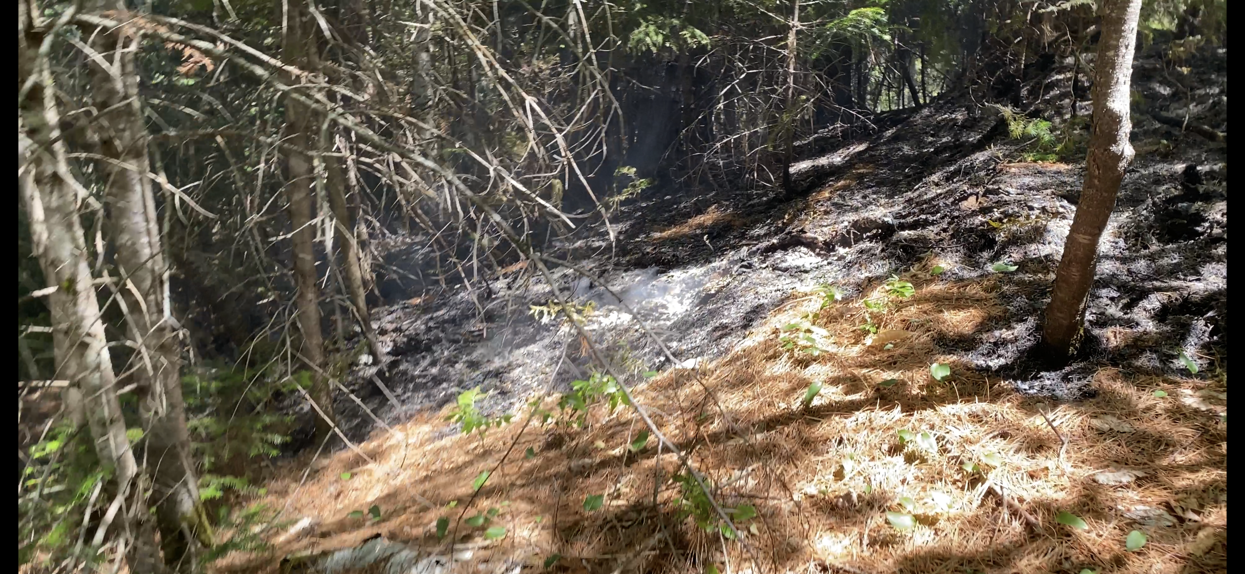
Overall, my rating of the Tuckerman's Ravine Trail to the actual Ravine is not terribly high. After passing by the Crystal Cascades- which were lovely, the trail was not terribly exciting. 


It would be a high quality winter trail though- gradual and wide. Ellie and I saw a decent number of hikers both ascending to Washington and descending from their backpacking adventures. 

Anyway, we ambled along, enjoyed the day, and appreciated that the river crossings were very well bridged. (the water was low, but these crossings still looked tricky!) As we got closer, we caught a view of where we were headed. 


After passing by the hut, the trail got super steep! We definitely got a good warm up for the rest of the day in this section. 
It was pretty cool checking out the Ravine. It was steeper than any photo gives it credit for, and certainly looked like it would be a long and damp climb to get out of there. 


After checking it out, we made our way back DOWN the steepness to the next step off our day. 

The Boott Spur link trail was easy to find, down by the large hut. Many people were there, but for the remainder of my day, I only saw 4 people (yay, goal accomplished! Always striving to take the quiet road.)

Let me tell you WHAT. The Boott Spur Link is STEEP. SO VERY STEEP. After a short time, I looked DOWN to see where we had come from and I was like F**K!!!
This is a terrible photo but that is the hut that I JUST came from. Ellie was leaping and bounding and pumped about the steep ascent- but even SHE was panting. I was laboring along like a 96 year old woman and kept stopping to say "SHIT! TOO STEEP!" It was steep. THE END. 


We climbed, and climbed and popped above treeline and climbed MORE! For a hot minute I was thinking that the above treeline section of the link was one of the most exposed/steep trails that I had been on in a while. Then, thankfully, it settled down. 


Once on the actual Boott Spur trail there was still a good bit of climbing to go, but it was on a somewhat more reasonable incline. And it was beautiful! Definitely a gorgeous vantage point, and so so quiet on this particular day. 

After summiting, we took a few minutes for a snack and a sit-down. I hadn't calculated how much total elevation we would be doing in this hike, but at this point I was thinking "a lot"- especially for a medium distance hike. 


Descending, more steepness, as one would expect. Still a really cool trail though, very pretty and very enjoyable. 


We were beat at the end of this monster day. 


You think to yourself- "it's not going to be that bad, we aren't even technically tagging any summits!" But this one is a good workout. Definitely a great one if you want to get above treeline without a huge crowd, and a good training hike for SURE. Lots of VERT. Also, very very pretty, from the waterfall, to the views of both Tucks and Huntington's ravine- really impressive!

THEN Ellie and I went to the local brewery for a burger and the weirdest stranger interaction story of the summer happened! This random man and his children wandered over to see Ellie while I was eating (all good!) but then when I got out of my seat to let the kids interact, the father STOLE my seat and spend twenty minutes telling me about how amazing he was. He was good at: running, getting covid, overcoming covid ("Overcoming things is what I am BEST AT!!") hiking, and just everything- from what I was told. Want to know what he was not good at? Letting me eat my lunch (I should have just told him to get out of my chair, I hate that I fell into the trap of having to "be nice" because that is shit.) I eventually grabbed my plate and kept on eating while saying "oh wow. that is great. so much skill." Jesus Christ. One might have thought that he was looking for a new spouse, but his existing spouse was at an adjacent table, and my conclusion was that he really LOVED himself and wanted all the strangers to know about the greatness. Ellen and I were not sad to make new friends once they left, and we immediately became friends with a couple who had Rhodesian Ridgebacks (who kindly allowed me to eat AND listen to their stories, hahah...) 

Stats:

Miles: 7.8

Elevation: 4028 (not flat) (plus you gain like 800 feet in less than a half mile on that stupid link)

Fun: A solid 8.5- good weather, amazing views, a heck of a workout 


Sunday, October 9, 2022

Owls Head: #45 of Round 2 of the NH48

We had every intention of trying to finish this round of the 48 several months ago. Our pie in the sky goal was to finish it prior to summer! 
Life had other plans though, and between BOTH Eric and I needing time off to cope with injuries, and some weather that was just too hot for hiking this Summer (and things like work getting in the way) we have been left this Fall with JUST Owls Head and the Bonds.

Yeah. Just a couple little walks.....

Things finally lined up for us to tackle Owls Head on Saturday, October 8th. Yep, a Saturday in peak foliage, on a holiday weekend, when there are several major tourist attractions happening (Fryeburg Fair, and Loon Resort was hosting what appeared to be a major Octoberfest.) All of this being taken into account, we decided to seize the day and make the best of it. Fall weather had been rolling in hot (cold), the water levels seemed to be nice and low, and it was a solid day to be on the trails before ice and snow become a concern. 

We don't haul ass to get on the hill anymore, and we arrived at the overflowing Lincoln Woods lot around 8AM. 

We learned a lot from our last Owls head excursion- which was in the summer of 2020. During that trip I had a number of concerns, mainly having to do with hearing tales of terrifying fast flowing river crossings, hard to follow bushwhacks, the steep and sketchy slide, and the overall length of the hike. I would say, that for round one of the 48, there was no mountain that gave me more worry than Owls Head. 
I'm not going to say that they were for nothing. Armed with ZERO confidence, we quickly abandoned the Black Point bushwhack when it became hard to follow. Then, taking the long way around, we certainly discovered that the numerous river crossings were time consuming, even of a day when it was warm and the water was not too high. That day we were out for a staggering 10 hours, logging over 20 miles due to our backtracking from the failed bushwhack attempt, and then taking the long route. 

New year, new us, new plan. 
I didn't even track the water levels, as it has been a pretty dry 10 days. We went in with complete confidence that we could follow the bushwhack and make it a 16 mile day. And armed with this positive mindset, off we went. 

Really, the hike went off without a hitch. 


We blazed along the Lincoln woods trail, cruised up Black pond and found (and followed!) the bushwhack easily. To be honest, it is a more pleasant route than many of the maintained trails we use, and Gaia locks right on to the track. Very safe and very enjoyable. And Black Pond is just lovely. 


Clearly, we bypassed several river crossings, including the largest, but as expected the water levels were very reasonable- actually, on the low side. 

The trek up Lincoln Brook trail is partially a wet slog, but we still made short work of it. The final river crossings were simple rock hops, and we were at the base of Owls Head trail before we knew it. 


Of course, that final mile gains over 1500 feet of elevation so it is no joke. However, this particular slide is not all that bad. Some crappy scree and loose rocks give way to a bit of easy scrambling, and then just more steep climbing. It is a cardio nightmare, but not (for me) terrifying. 

There are also impressive views of Franconia Ridge which is fun to see from this perspective. Literally in the MIDDLE of the Pemi Wilderness looking up at their massive bulk is pretty cool.


As it turned out, the only hiker traffic we saw all day was in the slide zone, and there were enough hikers to form a few bottlenecks. This may be hard to imagine, in a place this remote, but we clearly were not the only ones taking advantage of a pleasant and dry autumn day. 

The final annoying "serpentine though the woods to the summit" was a quiet stretch, and chilly, with signs of frost and the temps dipping to freezing. Ellie and I put on our jackets!

The summit of Owls Head is a low value one. High value hike, low payback summit. 


It was too cold to hang about and we took off after a 7 minute break. 


We encountered some traffic from people escaping the bottlenecked slide, and then scooted down the Brutus Bushwhack and quieter traffic conditions. Brutus was in above average condition, and even though it's a steep steep ballbuster of a descent, it beats going down the slide.

We had a pleasant, quiet and enjoyable walk back and admired the lovely fall conditions. 


Once back to Lincoln Woods, the quiet ended and it was all out tourist pandemonium. 

We escaped quickly to our car, clocking in at just under 7 hours, and just over 16 miles. Tired, but happy. 

It then took us 4 hours to make the normally 1:20 drive home, due to aforementioned tourists and fall time events. Luckily, it was a nice day for a drive. 

Weirdly, Owls Head is a favorite of mine. I love a nice long walk in the woods, punctuated by a brutal uphill mile! 

This brought us to #45, and ticked off Owls Head for Fall, and for October. 

ONE MORE HIKE TO GO.

Stats:

Miles: 16.2

Elevation: 3300

Time: 6:50:19

Fun:
Sara: 9.5
Eric: 7.5

Wednesday, October 5, 2022

Passaconaway and Whiteface. On two different days. #43 & 44

For whatever reason, we did not feel like cracking out Passaconaway and Whiteface in one fell swoop this time around (probably because it's not really a terrific hike.) (or because we want to see an occasional new trail) (or other, who knows)

So, as we do, we headed out for two separate hikes (one for 10 miles, one for 7) instead of just cutting to the chase and grinding out the whole mess in one 11 miler. Logic. 

We hiked Passaconaway on the hot and toasty July 4th, came across a wildfire (really) and saw hardly another soul on the trail. 
It should be noted that we did not find a wildfire and then casually go hiking. A ranger came in right away and let us know that it was fine if we stayed, and perfectly fine to park. This wildfire, although an acre in size, was more of a smolder than a raging inferno (thank heavens!)


We headed up Oliverian Brook trail (very pleasant) to the Passaconaway cutoff, eventually connecting to the ledge trail, and summiting on the walden trail (I think.... I feel like it was less complex than this sounds!) The only people we saw were hiking the loop, and after a few summit encounters we saw a grand total of zero people on the descent. 


The wildfire was still smoking along at the finish. It was a very strange thing too see, started by a renegade firework (not cool)

Total distance: 10.6 miles
Elevation: 3110
Fun: 9 


The next week we headed out on a dry and sunny day to smash Whiteface. We headed both up AND down  Blueberry Ledge trail (the ledges are totally fine to descend when dry!) 
No good story here. We made short work of it, even though it was a grind. 


Eric ended up having some miserable foot problems that then sidelined us for a good bit of time. With Owls Head and the Bonds left, nobody wants to find themselves in the middle of the wilderness with lousy feet. 


Miles: 7.9
Elevation: 3048
Fun- I had a good time, so an 8. Eric hurt his feel so a 2

Anyway. 44 down, 4 to go.