It's a little disturbing how quickly summer is going by (although I WILL NOT AT ALL miss the 95+ degree temps that we have been experiencing this year.
Last week was one of those weeks. Temps over 90, and humidity like we have never seen. My house may have mildewed.
So, when the forecast began to call for cooler, drier (and perhaps cloudyish weather) for Saturday, Eric and I said "screw housework and lawn mowing and going to the dump and being adults, let's go hiking!!"
After chugging through the Traverse a couple weeks ago, tackling something in the Franconia region began to look appealing. Despite the longer drive, the Franconia ridgeline (and what appeared to be legitimate dirt trails!!) sounded pretty damn good. (prepare to see 4 million pics of said trails, haha.)
We departed our house at 4:30. Yes, this seems absolutely and completely ridiculous for a hike with a book time of 7:30-8 hours.
However.... We had been hearing mumblings of significant traffic and parking issues in the Franconia area, and we just didn't feel like dealing.
So, for change we got to sleep in (until 3:30) and see the *sunset* while on the drive.
 |
| We didn't want to get too excited about the perfect weather |
We arrived to a busy, but certainly not full parking lot.
 |
| Plenty of space to prepare |
Shockingly, the weather was looking good. I had monitored the forecast for a couple days, and it looked worse that the weather that had been forecasted for our Traverse day. I did NOT have high expectations for views, and I certainly packed for damp and cloudy conditions.
We kicked off the adventure at 6:20, and briskly headed up Falling Waters Trail.
This trail was quite busy, even at the early hour and we caught up to many people shortly after the first stream crossing, which is over a nice little bridge (there are at least 4 more crossings and zero more bridges. Might make for wet feet in the spring, unless you can leap really far.) I believe it was called Dry Brook, and while it was not exactly dry, it was not an extreme stream.
 |
| The lone bridge |
We came across many lovely falls.
 |
| Just a preview of what's to come! |
The trail was exceedingly pleasant for the first half mile or so- like, take the children for a little hike kind of easy (and you should, the kids will go bananas for the available water to play in!)
 |
| I was tempted to take off my shoes and play |
Also, with 3 lovely falls in less than a mile out, this would make for a really pleasant short excursion.
I'm pretty sure this final photo is Cloudland Falls.
 |
| Cloudland Falls, bonus points for being extra pretty |
For the first mile or so, Eric and I passed, or played leap frog with quite a number of other hikers. Even though we are all just out to enjoy the day, Eric and I tend to be overly zealous. Once we have passed someone, we really do not care to have them pass us back! So, on occasion we might hustle in a competitive way, which is really unnecessary! (but it's fun)
We should probably knock it off. Hiking is probably not a competitive sport. Or is it?
There definitely came a time when the trail became less of a stroll, and more of a climb over the usual rocks. Regardless, it was still significantly less brutal than the final stretch of Madison, or any part of fricking Adams.
 |
| A few stones early on |
After a few areas of incline/flat/incline/flat, a long climb began. Even though we were keeping a steady pace, and passing the occasional hiker, it was really enjoyable! We kept up a constant stream of weird conversation, and enjoyed the trail- which was just lovely, even below tree line.
 |
| Watch out, here I come! |
It wasn't too long before we popped up above the trees, and got our first view of the day.
After the foggy pea soup of most of the traverse, the views were a sight for sore eyes. Even before we really got to the top, I couldn't shut up about how excited I was to SEE EVERYTHING!!!!
 |
| HI |
Shortly after, we arrived at the top of Haystack. Be prepared to have no real idea that you have summited anything. Other than feeling like you are on top of an actual mountain, there's not much to tell you that you have arrived.
But it doesn't matter BECAUSE IT IS F***ING AWESOME AND GORGEOUS!!!
Summit #1 reached at 8:20. Exactly 2 hours of hiking.
 |
| OMG SUNSHINE AND HAPPINESS |
 |
| AND ACTUAL DIRT TRAILS!!! I WEPT WITH JOY!! |
Anyway. After taking a moment to freak about the beauty of nature, on we walked.
Or PRANCED, because I swear, you have never in your life seen a trail as perfect as Franconia Ridge. (and apparently, trail runners agree because we saw a metric fuck ton of them.)
 |
| I'm not running, but I sure am happy!! Also, #dadshorts made a comeback |
It is a very glorious 0.7 mile walk to Lincoln. The ridge must suck in the bad weather, but it was SO perfect. I needed none of my rain gear, and felt somewhat over prepared...
 |
| Those clouds are really messing up my party |
As we climbed up Lincoln, we had a good view of what was behind us, and we reassured ourselves that we had officially passed, and held off our nearest competition. #veryimportant
But let's be honest! We had a perfect view in every direction.
 |
| Heading up Lincoln |
When we climbed Jefferson back in June, I was super scared of anything up high. Evan kept climbing the rocks, and being a weird little goat.
Apparently, that runs in our blood. (who would have thought??!) Now that I have become more confident with my balancing abilities, I seem to be very interested in climbing to the highest point! So fun. So unexpected.
 |
| Majestic |
From Lincoln to Lafayette, there is 0.9 of gorgeous dirt trail (with a few little rocks here and there, but nothing I wouldn't send my little Nephew and Niece over) and these super cute little trees, that make you feel like you are a giant walking in a tiny world. My imagination was on overdrive.
 |
| The land of tiny trees!! |
We knew that we had arrived upon Lafayette because there were a ton of people there, a legit ultra trail runner pit crew stop (complete with go-pro and the kind of intensity that comes from attempting a Pemi loop record, or so we guess) Plus, we google mapped our location to confirm AND we finally found a marker.
Lafayette Summit at 9:14. Time for a sandwich.
 |
| There you are, little buddy |
It was the warmest, and least windy summit of the year. And very pretty.
 |
| Hawks enjoying the thermals |
It was pretty crowded, and growing more so by the minute.
Much to our *dismay* a woman that we had passed about a mile in crept up, looked around and officially took the lead of our pretend race. She was never to be seen again! (that's what we get for taking a 15 minute lunch break!!)
 |
| Summit photo. Still breezy, even on a perfect day! |
We were easily able to find the Greenleaf trail, which takes you to the Greenleaf hut a mile or so later. There were a number of rock staircases, and small boulders in this area (but it's a walk in the park compared to most of the terrain that we have hiked on this year.)
 |
| Just normal rocks. And a gondola off in the distance. |
There was some heavy traffic on the uphill climb of this stretch of trail. Pleasantly, everyone seemed to need a break and yielded to us while they caught their breath. While this isn't traditional trail etiquette, neither of us were complaining.
 |
| Looking up at the Greenleaf trail |
Before too long, we were back in tiny tree land!!! The footing in this section of trail was perfect, and although it was narrow, we were able to meet oncoming hikers safely.
 |
| I just can't get enough of the teeny trees |
We passed by the Greenleaf hut at 10:03 with no need to stop. Quite a few of the hikers just behind us stopped here, so the downhill traffic became almost non existent at this point (other than the hut workers, who basically run down at top speed!)
 |
| Eric, and the Greenleaf hut |
We then took the Old Bridle Path about 3 more miles to the parking lot.
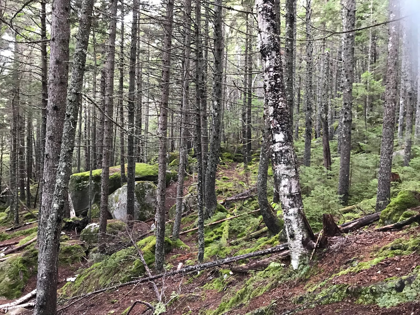
Right away, the scenery took a very Narnia like turn (typical)
 |
| Mossy green everywhere |
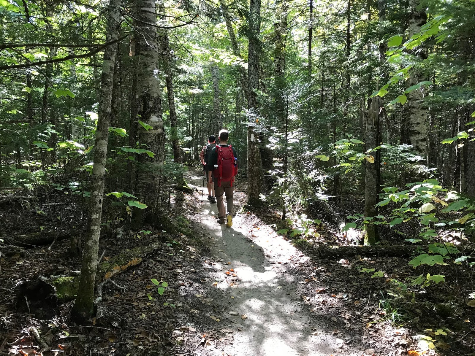
Similar to the uphill route, the trail was broken up into sections of rocks, and sections of trail that was just perfect lovely dirt.
 |
| I would call this a "typical" rocky stretch. Not too awful. |
There were also a number of scenic points that were entirely too easy to dawdle in!
 |
| Queen of the Mountain |
 |
| Oh, and Eric too :-) |
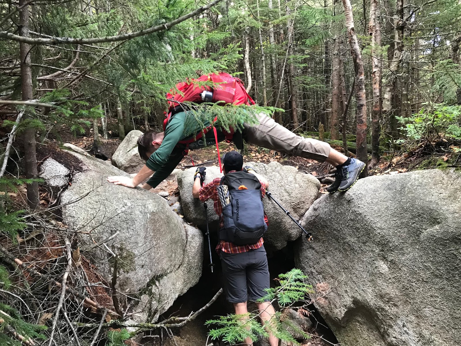
We managed to meet an entire Boy Scout troop on the most difficult stretch of rock that we encountered. We pulled over so that they could scramble up, and then (without too much drama) made our way down.
 |
| The sketchiest stretch of stone |
From there, it was smooth sailing. We zipped on down feeling great, and meeting a ton of people on their way to the summit (all of whom were impressed by our early start, and SKILLS, obviously. And they all informed us that parking was a complete and total disaster. We felt proud of our decision to get a move on in the morning!)
 |
| Heading down, on a GREAT looking trail!! |
We kept a pretty brisk pace once we hit the perfect footing, which was fun because we were feeling good. The weather continued to be amazing (low of 50, high of 70, not too humid, nice and sunny.)
We met a couple more trail runners in the final half mile, several hiking dogs (including a Vizla!) And I found myself a comfortable new gnome home.
 |
| So comfy. |
We made it back to our car very close to 11:30, which brought us to 5:12 minutes of time on the trail. Pretty much smashing book time.
 |
| This is a very helpful sign! |
So another VERY enjoyable hike. Definitely more user friendly that a whole silly (awesome) traverse. Very enjoyable trails, views, company and weather! Highly recommend!
And yes, the parking lot was full to capacity at 11:30. They will not allow parking on the shoulder of I93 (which makes perfect sense for safety) but there is a shuttle that will bring you from to, and back from Cannon, where there is satellite parking. If you plan to arrive at a civilized hour in peak months, I would add extra time for this and just plan on it. (we could have sold our spot, no lie...)
 |
| Done!! |
Stats:
5 hours 12 minutes
8.8 miles
3850' elevation
Challenge level: Moderate. Not scary. Lots of nice terrain, but some step sections for sure.