Showing posts with label mountain. Show all posts

Sunday, July 26, 2020

Owl's Head: July 25th 2020

We live in the age of Instagram. 
Activities can only be considered successful, and interesting if there is a pretty (and perhaps heavily filtered) photo to prove your accomplishment. 

As I contemplated the many (many) complaints that I had heard about hiking Owl's Head, the biggest complaint was certainly the lack of splendor. 
No photo ops. 
No magnificent summit to pose on with friends and family. 
No bang for your buck. 

Listen. I'm not about to get all profound. But I really do not believe that success is measured in instagram likes. You can enjoy something without the carefully curated photo op.  
(and you can also enjoy the bejeebus out of sharing your adventures! Heaven knows I do. But I live for the adventure, not for the likes....)

That being said. Go like the hell out of our new YouTube Channel!! Give us SO MANY LIKES (I'm such a study in contrasts!)
Here is the progression: Our YouTube skills progress from BAD, to OK and we hope to get to DECENT. (but don't hold your breath.)

Anyway.
As we embarked on out quest to tag Owl's Head early on the morning of July 26th, I was fully prepared to suffer. I doubted that I would hate the hike, as I tend to enjoy the oddball adventures. But, I had my doubts about liking it at all.  Mostly, the things on my mind were my concerns about the potential tackling of our first bushwhack (more on that later) and my hopes that the water level readings I was seeing were correct . My biggest fear regarding this hike was NOT the low value summit, but coming to the first river crossing and having my dog swept away by the current. Luckily, it's easy enough to get the info you need about such things, and I was cautiously optimistic.

We arrived at the Lincoln Woods Trailhead before 5:30AM to find it jam packed full. We easily found road parking about 0.25 miles away, but knew it was bound to be a busy day. 

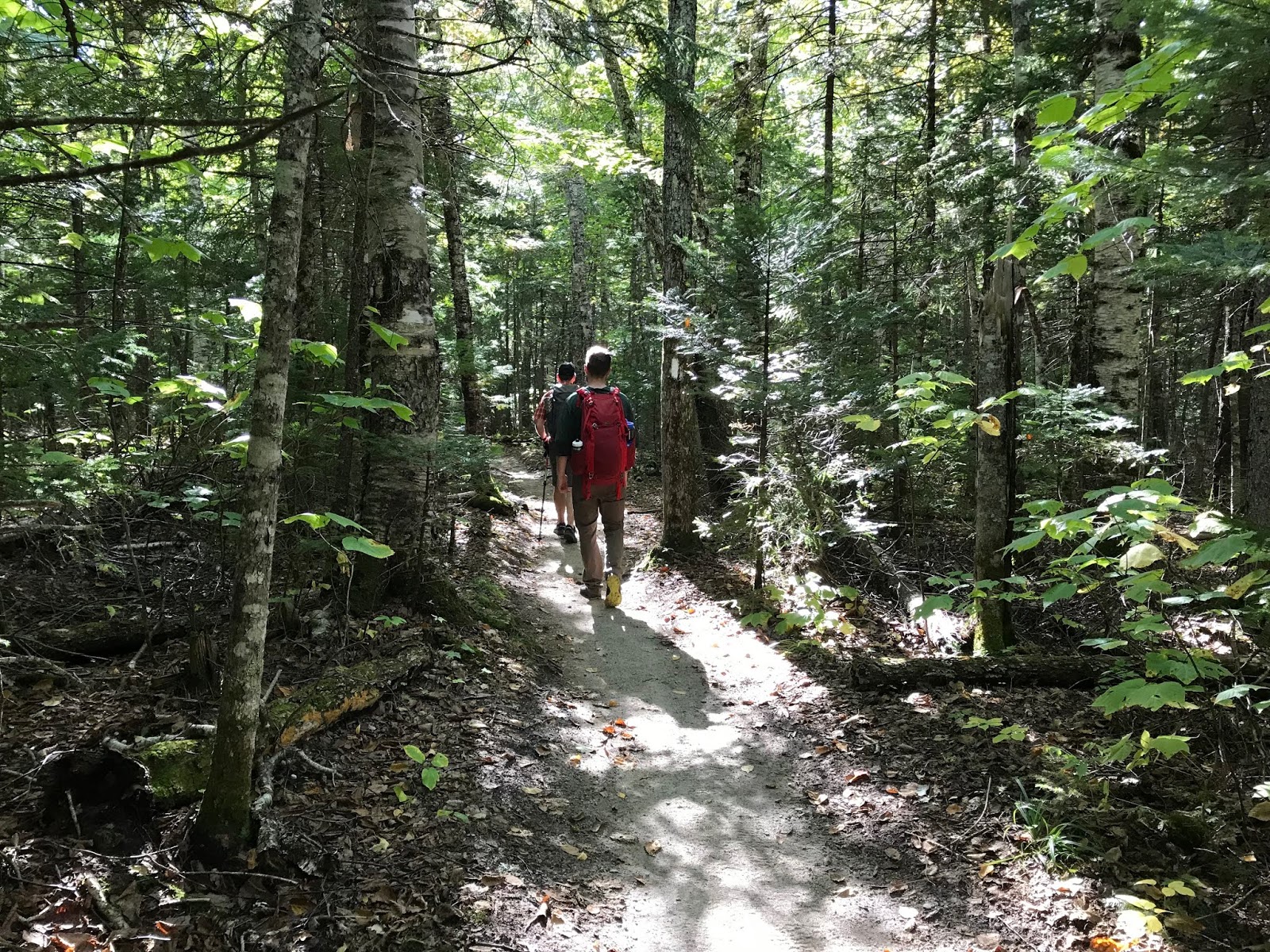
Our hike began as we knew it would, on the bone flat Lincoln Woods Trail. 

I mean.... How can you be mad about this?? #easy

At mile 2.8 we took a left onto the Black Pond Trail. I had researched the Black Pond Bushwack, and knew it would cut a bit of mileage off the hike (plus 2 major crossings and some odds-and-ends stream crossings) Armed with knowledge, the Gaia app locked and loaded, and a map and compass (although a map isn't terribly useful in this situation) we proceeded on a pretty obvious herd path. 

Which promptly vanished into the woods. 
Feeling 100% uneasy about this (even with Gaia in hand) we bailed and got the hell out. No point in flapping around in the woods all day. 
I'm not going to lie. The detour was worth it, as it was lovely. 
And it was also good to bail. If your gut tells you no, listen. 


OK. So with and extra 2 miles already in hand, we were officially off. 

I highly recommend sticking to the standard route (Lincoln Woods, Franconia Brook Trail, Lincoln Brook Trail, Owl's Head Trail) as you can totally zone out and go into autopilot.

So. It's really as easy as that. Take the bone flat super highways of Lincoln Woods and Franconia Brook. (there are a couple baby crossings on Franconia Brook) Bang a left onto Lincoln Brook. Shortly, you will hit the major river crossing (this is the one to worry about in high water, for sure.)

Big, wide river. No shoes required. 

While there are a few pointless ups and downs on this Lincoln Brook Trail, it is still extremely straightforward. After your second "real" river crossing, you will see where the Black Pond Bushwhack comes out on the left. I can see the reason of the popularity behind this *trail*. You do avoid two of the big crossings, including what is clearly the most daunting. (even though it was a low water day, we needed to wade across in shin deep water. very pleasant, it was hot.)

You spend 3.4 total miles on Lincoln Brook trail before coming to the "trail head" for Owl's Head. 
There is no sign.
On this day, there were two obvious rock cairns on the right, to mark this turn. 

Don't blink. Trail head.

Because I was keeping an eye open for them, they seemed obvious. However, 50% of the people we later met said they blew right past them (the mileage on my GPS measured the trailhead at 3.3 miles- but I do not trust devices 100% in such thick woods.) 

From there, yes. You go straight up. You gain like, 1500 feet in one mile. 

While it is a grind, it's not awful. It's a cross between Hancock and Flume slide. We all enjoyed it, if you want to know the truth. Plus, you FINALLY get your instagram photo!! (I took one! Believe me, I am not above the insta!)

INSTAGRAM PIC

You are NOT "there" once you reach the top of the slide. You wind, and wind, and wind through the lovely woods for about .25 before you find an unassuming cairn which marks the top. 

Summit

As we made our way through the final .10 of the trail, we crossed paths with another hiker. "Did you love the epic summit?" I asked him. He laughed and said "Getting to the top of this mountain is epic enough."

That. Is. Correct. 

We did take the Brutus Bushwhack on the way down (at the BIG boulder- take a left. It is indeed a herd path and completely bypasses the slide.) 

From there, we happily retraced our steps and reentered the CHAOS of humanity once we reached Lincoln Wood Trail. THRONGS of people. (we saw fewer than a dozen people heading to Owl's head. Then at least 100 in the final mile.)
Honestly, it's weird being alone in the wilderness all day, and then return to the screaming mayhem of people (who apparently think that being outdoors excuses all kinds of bad behavior....?)

DONE

We checked back on at our car 9:50 from when we began, and the insane traffic was just too much, so off we went. 

This is one that I'm glad to have been able to check off the list. You really do need decent day to do this one- I would NOT suggest heading out after major rain, if there are storms in the forecast, or in the early spring when snow melt is an issue. 

You can easily find water data Here
People who I have talked to say that the crossings are difficult for humans when the levels are above 200, and not recommended for dogs until they are 50/60 (it was about 150 the day we went- and we all felt very, very comfortable.) 

One more word of wisdom. 
If you plan to hike ANY trails get a map, learn to use them. Get the White Mountain Guide, read it. Use internet groups to assist, but be responsible for educating yourself. If you choose to use your phone for any type of navigation, prepare for it to die and have a back up plan. (and pack your damn 10 essentials!!)

All 3 of us were pretty worn out after this adventure, but I'm feeling satisfied with the whole experience. Yes, it is a long way to walk for a 4025' hill. But getting to the summit is always half- or 99.9% of the fun, and if you love a good (FLAT) woods walk, you will love this one. 

Even Ellington was tired!!

I liked you Owl's Head. 
Next time (next time??) I will pack light, and run a good bit of this as it is a trail runners dream. I'm actually weirdly excited about trying that out. I like to be in the wilderness. I like the path less traveled. I do not like Lincoln Woods Trail in July......

Stats:
-21 miles
-3440 ft elevation gain
-9:50 min total time (at LEAST 30 min stopped time. We/Ellie need to eat.) 
-Difficulty: EASY/HARD/EASY
(don't be an idiot and try to do this one if you don't have your shit together. there is no cell service. that's all most people need to know :-)) 


Friday, August 30, 2019

Isolation! August 25, 2019

The night before this hike, we had decide not to attempt Isolation. The Saturday weather had not been as good as forecasted, we were a bit tired from Zealand: the extended version. And REALLY, who wants to get up at ass o'clock every day??

So, when Eric got out of the tent at 6:45 on Sunday morning and said "SHIT. We need to hit Isolation today!" I was both excited, and freaked out because one would have planned on an earlier start.

But yes, the sun was shining gloriously and there was not a doubt in our collective minds. It was a day for some above treeline nonsense.

We managed to get on trail exactly 9:30- which is a hideously late start. Thankfully, sunset is still on the later side so were not too worried. I had heard wildly varying times for this hike but calculated that we should/could be able to do it in 8.5.

And off we went.

Not too gross after a couple days in a tent
We chose the Glen Boulder trail to start with, and it gains some serious elevation right from the beginning. However, it tosses in some switchbacks, and moderate sections (so as long as you don't go out habanero- you will make it. We certainly saw some humans around mile .75 who were DONE for the day. Don't be those guys.)

Just normal up and up
As the trail pops above the treeline for the first time, there is the only technical scramble of the day. Our typically fearless dog took a good look at this little rock slab and asked for a boost. She was then on her way and had no other issues (this is just good to keep in mind if you have a cautious/old/arthritic/non-athletic dog. they might not make it up this.)

The view looking towards Glen Boulder was stunning. It was a perfect weather day, in beautiful surroundings.

Just a small rock on a hill 

It's kind of amazing that such a large rock decided to settle in this exact place. Let's hope it stays put.

Ellie is like, 50 feet away for perspective
After checking out the boulder, we continued to go up. A stretch of above treeline hiking, then  transitioned into some more wooded path.
There is a spring off this stretch of trail: be aware, this is the only easy place to get water for the remainder of the hike. If you have a dog, make sure to bring a LOT of water!

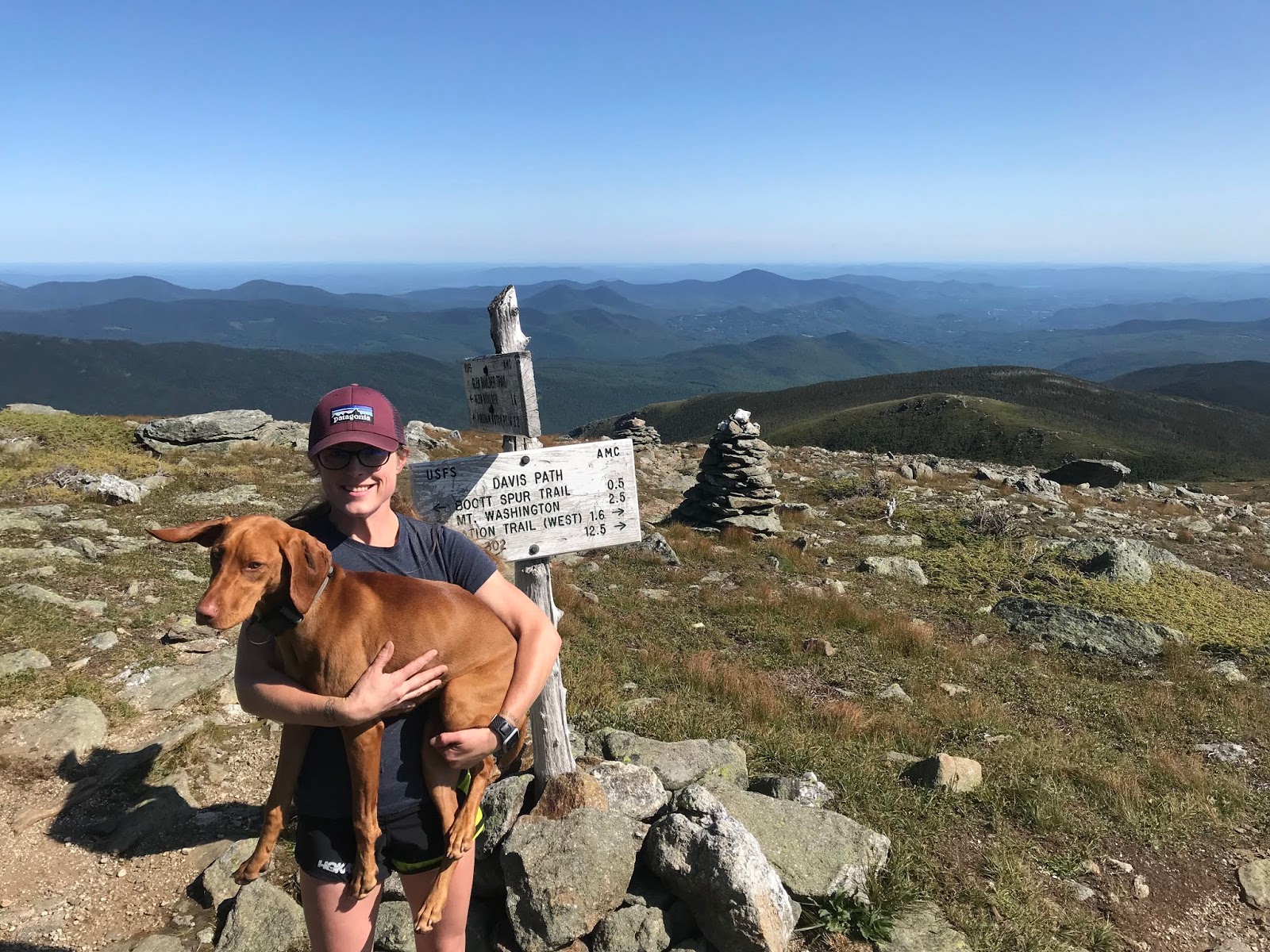
On the way to the intersection of Glen Boulder Trail, and Davis Path, you pass over a summit which is called Slide Peak, or Gulf Peak depending on what map you look at. While it is right at 4800 feet, it doesn't "count" because it doesn't have prominence. BUT- it has some killer views.

Right at about 5100 feet, 3.2 miles in, you come to the intersection with Davis, and make the left turn towards Isolation. (by the way, this was Ellie's highest climb!)

Can't beat the weather, or the view!
And then. YOU GO DOWN.
Might as well enjoy it though. The sights just don't get any more gorgeous.

Isolation, here we come
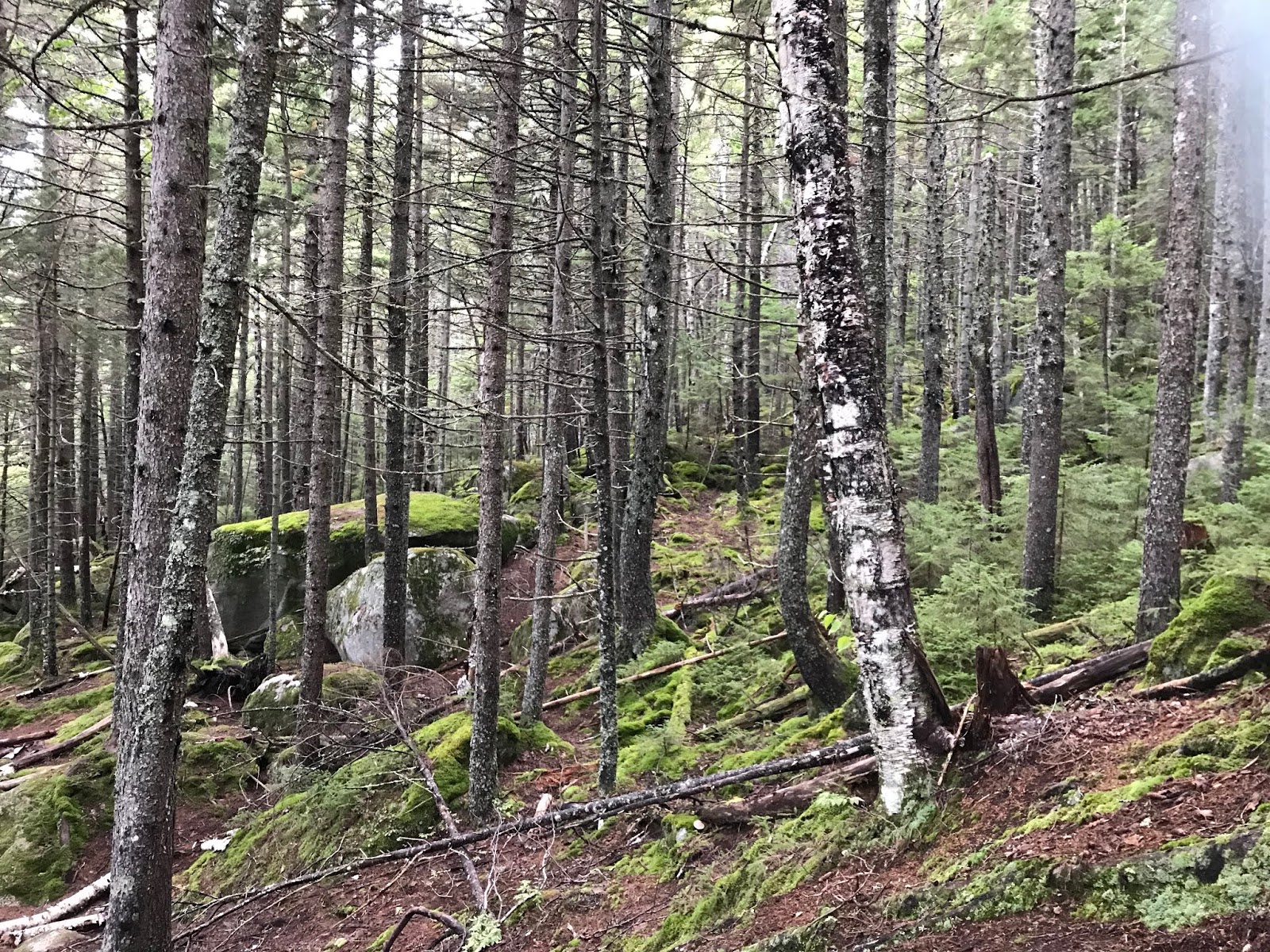
The little above treeline stretch was just glorious, but luckily, we both really liked the wooded sections too. You really drop like a rock, losing over 1k elevation pretty damn quick. You're going to hoof along in the woods for about 2 miles- and they aren't bad miles at all!! Then, you'll come to a fork in the road and take the right hand trail towards Isolation. Only another 0.9 to go at that point...!

A pleasant trail!
There are some pretty muddy areas on the Isolation trail, and I imagine it is a gross mess in the Spring. But I didn't take any pics that weren't pretty, haha.

And just like that (well. after almost 4 hours) there is was!

Yay!
Just a small climb and POP, above treeline you go.
To some of the best views you can hope for.

BEST VIEW
Just kidding. It was lovely.

Gotta get back up that, though
We could not have asked for better conditions. Save this one for a glorious day!

We made it!
We made it to the summit in almost exactly 4 hours. We did have to stop several times to water and feed the dog, and for minor outfit changes. Nothing major though.

After enjoying about 10-15 minutes at the summit, we were off again. Knowing we had a pretty solid climb in the way down was a good motivator not to dilly-dally.

The return trip was, honestly (and thankfully!) uneventful. Yes, there was a climb to get back to Glen Boulder trail. But: it was such a nice day, the surroundings were so fabulous, and we are in decent shape, so it was not at all horrible.
We retraced our steps, as I have heard that Rocky Branch is not in good shape. Plus, we don't always trust our hitchhiking skills.

BACK UP WE GO!
Gotta take a few to check out the view.

Just out of the tiny woods
Shadows were beginning to fall by the time we made it back to the big big rock.

Casts a large shadow
It was a good walk down. We had braced ourselves for being really tired, which never actually came to pass. We braced ourselves for some level of frustration, which also never happened! The dog got a little crazy at the end, but saved it for the final stretch so that wasn't even an issue. We had prepared for a real level of struggle (especially after hiking 12 plus the prior day) but it never was that bad. We had some good laughs on the way down, the trail is impeccably marked so we never had the "oh shit where do we go" feeling, like we had on the Twins, and it was a fine ending to a truly fine hike!

Elle is so embarrassed 
This was a great one.
Don't do it if you aren't in shape.
(good to note: there really is not a "bail out" option on this hike. so if you can tell it is not your day, head down earlier rather than later.)
Save it for a nice day!
AND ENJOY.
Also, this brought us up to #28 on the NH48 list (I believe, the 21st one we have done in 2019!!)  I really have to appreciate the list for being a motivator to get out and do a hike like this. Otherwise, I might have said "11.6 miles for a little mountain?!? NO WAY!!" And thus, would have missed out on a really fun day.


Strava data: (we take this with a grain of salt) 
-elevation climbed: 5,007 (HELLO!!!!)
-miles covered: 11.6
-elapsed time: 7:58

Difficulty: Strenuous. Very long, lots of vert. But amazing!!!! Very exposed in places, not a great option for a bad weather day. This route avoids major water crossings, but it can certainly get very muddy. You are, indeed, isolated out there. No viable bail out routes that would help you in a bad situation, so you must be smart to do this one. I did find some cell service in a few places, but it's very spotty. 

Views: Unbeatable. Even if you only go to Glen Boulder. 

Bugs: Nope

Dog friendly trail? Ish. One tricky scramble, and very long with very little water. Our little buddy loved it, but she's nuts. 

Signature

Monday, October 1, 2018

Katahdin via Hunt Trail, September 27th 2018

Last week, in a completely whirlwind (and completely fun) 48 hour trip, Eric, Lee, Evan and I climbed Katahdin.

Yes, yes we did
Now, growing up with Lee (the hiking master) I know that I should be specific, and state that we summited Baxter peak. I grew up in Maine (with a hiking family, obvs) so I understand the layout of Katahdin. There is the highest peak, Baxter, which is famous for being the Northern Terminus of the Appalachian Trail.

The sign agrees
Katahdin has several sub-peaks, South Peak, Pamola, Chimney Peak, Hamlin Peak, and South/North Howe Peaks. (I have literally never met a person who has mentioned any peak other than Pamola and Baxter. But they, evidently, exist.)
Either way. We summited Baxter Peak via Hunt Trail, which is the final stretch of the AT.

We chose this route based on the convenience of the trailhead location, as we were luckily able to snag an amazing lean to at Katahdin Springs Campground. (mid week plans, for the win!) We were in camp site 12, and literally walked out the door and were at the trail head.
Katahdin was not on my radar earlier in the season, as the thought of camping makes me cringe. (and it's just not a day trip from where we live) As my hiking bug grew, and ridiculous adventures seemed more sensible, I decided to bite the bullet and take the plunge (I'm going to write a separate post on the fantasticness of this camping experience, and why I quit camping to begin with 30 years ago.)
(but this post is about the hike)

After a good nights sleep, we were all up and ready to hit the trail at 7:15. The weather simply could not have been better, which is the most remarkable part of this trip. (except the part where I slept outdoors, of my own volition.)

The weather was brisk (which prompted all of us to pack like it was going to be a Mt Washington wind/fog/death march) but the chilly start was just there to wake us up for a DAMN NICE DAY!

Slightly chilly at the start, and almost awake
The first mile, or so, of the trail was amazingly pleasant.

Perfect trail, and the best hiking friends!
We walked through the Narnia Forest (fun fact: this part of Baxter State Park was the inspiration for the forest in the Disney movie Bambi!)

Where are you, Bambi??
The terrain was a mixture of so-easy that your Grandma could do it, and occasional roots and rocks, and the classic bridge crossing.

Warmer. Enjoying the oh so rustic bridge. 
Right around mile one was Katahdin Stream Falls, which wins "best waterfall" for 2018.

Perfect
After the falls, the trail began to get more challenging. (so... leave Grandma at the falls!)

We trundled uphill for a while, and while there was the occasional rocky jump, or mysterious trail stream, I found this section to be more forgiving than most of the ascents on the White Mountains that we have accomplished this year.

Stone stairs are forgiving compared to some climbs
But don't worry, it was not just a casual walk up a bunch of stairs.

Just some rocks
But you also get great views, really quickly.

Double Top, wayyyy over there
Plus, when there are super big rocks, we always make use of them #dorks

So fit. This is now a hiking tradition for these two. Now figure up how to climb up THERE. 
We were lucky to get an amazing view of the Owl from a terrific vantage point (basically, a giant boulder. this scenic overlook has a name which I just can not recall at the moment.)

Hello, Owl
Very shortly after that point, things became serious. (as in: if the weather is bad, or you are unprepared, if you are already feeling fatigue, if you aren't up for a serious scramble TURN AROUND!)

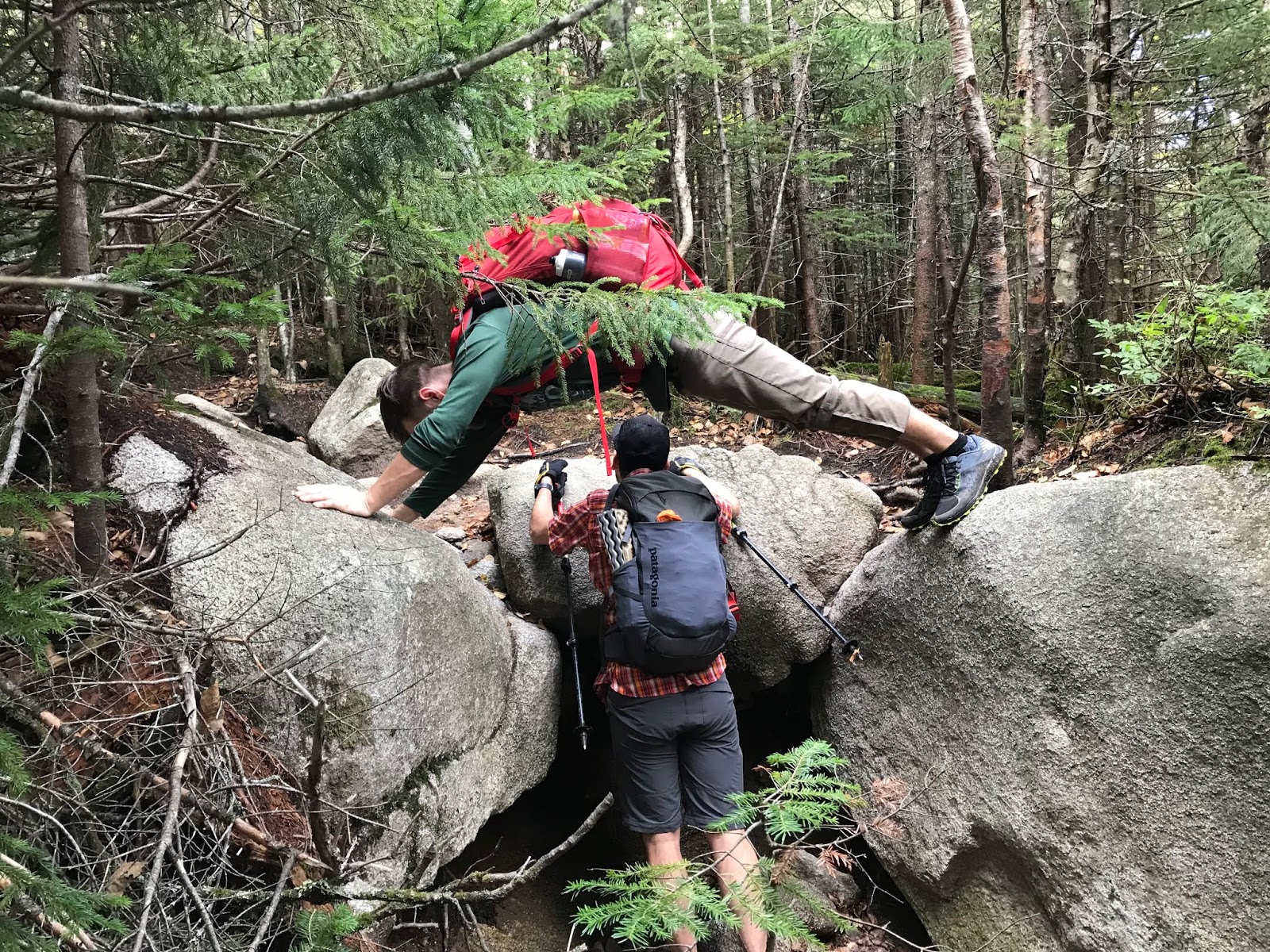
We encountered a series of giant rocks, and the trail turned away from hiking, and into scrambling/light bouldering pretty damn quickly. Apparently, this is the beginning of the Hunt Spur. It's quite full of gigantic stones.

Yes, you need to climb up that!!
Through this segment of trail, you will encounter some very *tight fit* spaces, which could challenge a human with a large pack (or a human who has very broad shoulders.) You must scramble up some very steep sections, some of which are equipped with iron bars.

Good luck scrambling up to that iron towel hanger....
From ahead of us we heard Evan say "wow... that was pretty intense...." And if HE thinks that the actual, blazed route is intense. IT IS.

After clambering through the giant boulders, we came across a perfect and GOD DAMNED MAGICAL plateau to have lunch upon. And it was just amazing.

JUST. GORGEOUS.
The hike could have ended here, and we all would have felt satisfied (sort of)

We encountered some through hikers, and it was really cool to talk to them about their experiences, and how they were feeling with only a few miles to go. Hiking the AT is pretty impressive (and pretty luxurious if you want an unpopular opinion! but hey, being able to take 6 months off for hiking is pretty boujee if you ask me!)

So after hanging out in friggin heaven for a while having lunch, off we went.
Where were we going????

WHERE?? UP!!!!
We were going to tackle the remainder of the Hunt Spur. Thought you were done?? Nope!

OH HI (and that is NOT the top)
This section of trail should not be taken lightly, but I found it easier on the uphill route than I had the iron-bar-boulder section. I have since heard tales of people getting panicked from the heights on this part of the spur, and hitting the bail out button.

Just the beginning....
PLEASE PLEASE DO NOT LET YOUR GRANDMA DO THIS.
But Lee is fine, FYI.
Lee doesn't give AF
I think it goes without saying, but I would NEVER suggest doing this trip on a rainy/low vis day. Way too many possibilities for disaster.
But honestly, I had zero issues with the "up" section of the spur.
And neither did Evan..... (or any of us, but he climbs things)

"Evan... Don't make me call your mother!!"
The final push up the spur is called the gateway.
BECAUSE IT IS A GATEWAY TO A MAGICAL PINK GRANITE WORLD!!!

Holy shit. Where are we???
We paused to regroup (it literally goes from this ass kicking climbing to a flat, sunny, grassy, gorgeous landscape.) Just unreal.

While we took our moment, we got to talk to more through hikers! Seriously, this was so fun. Some of them smell terrible (causing us to give them trail names like "toe cheese"and "swamp ass") but most of them were really fun and funny, and not smelly at all,  and they all sit around looking hungry and chain smoking. (go figure)

And then we were off through the Table Land of magic, towards the summit.

Basically another planet. Amazing. 
We came across the famed Thoreau Springs, and Lee said it was the most watery that he has ever seen it. Apparently, it usually looks like someone peed on the ground. On this day, it was basically a small brook!

Quality photo...
Walking across the Table Land was like nothing I have experienced. It was warm and dry, for starters, but it was also PINK! Small planes circled the summit frequently, which lessened the feeling that we were actually on another planet (seriously, it was so cool. such an amazing place to experience!)

And yes, I saw a crow in the distance. 
And what weather! As clear as we have seen, 60, dry and perfect. We were all so happy!

Selfie time!
From the gateway to the summit it was probably close to a mile, but it seemed shorter because quite a bit was flat. There was a final, moderate 300ish ft climb to the peak, and just like that... We were there.

Amazing

Please don't fall
We made it!
After spending some time at the summit, watching terrified looking hikers finish the Knife Edge (I think I'll tackle it someday. But NOT now) and taking in the sights, we headed down.

While we certainly set a blistering pace on the Table Land, the Spur really set all of us back a bit (especially me.)

Gotta go down this mess
Apparently, on the way up I simply had not noticed the narrow passage way, or incline that we were traveling at.
I noticed on the descent. (pro tip: just don't look down.... or think too much.)

An easy section....
Honestly, after getting through the shit show upper spur, the iron bar section was a breeze. For all of us, it was much easier on the way down. I took alternate routes, which required some leaping, but were not terribly challenging.

Somehow, none of us wiped out. We laughed a LOT (over the most ridiculous things that I wish I could remember now!)

We kind of blazed through the descent. Food and beer were calling.

Back to the flat lands
Before long, we were back at our cozy campsite!!

YAY!!!!
WHAT A DAY!
We could not have asked for better weather. We had such a great time, and it was amazing to see the landscape of Katahdin. I really look forward to returning to Baxter again, and seeing more of what this beautiful part of Maine has to offer.

Stats:
Milage- 10.0 miles 

Elevation- 4,596

Time: 7:48 (included some lunch and such. the usual)

Challenge level- I need to lock down a rating system for this. I would have to say, given the distance and the aggressive scrambling that I would call this strenuous. (extremely difficult? is that what I have been saying? give me a few days and I'll work out how to rate this shit. Go read your mountain guide for actual advice haha.) 
Signature