Thursday, September 15, 2022

The Adams Family

We had the chance to hike with Evan on July 3rd, and instead of dragging him along to slog Owl's head (or similar) we opted for an above treeline adventure on the path less traveled. 

The weather was projected to be amazing (yes) and it was a holiday weekend (a big one) so we knew it could be wild if we went with a standard choice. 

Appalachia was already jam packed when we drove by, but barely anyone had parked at Lowe's Store. In fact, we only saw one descending hiker until we made it to Thunderstorm Junction. 

So for those of you who don't know- The Adams 5 consists of the Big Kid- Mt Adams, and his family, Abigail, JQ, Sam and FIVE. Poor five kind of missed out on the naming. 

So first of all you climb for a good long time up Lowe's Path, pop above treeline, and scoot up and over Abigail Adams. 
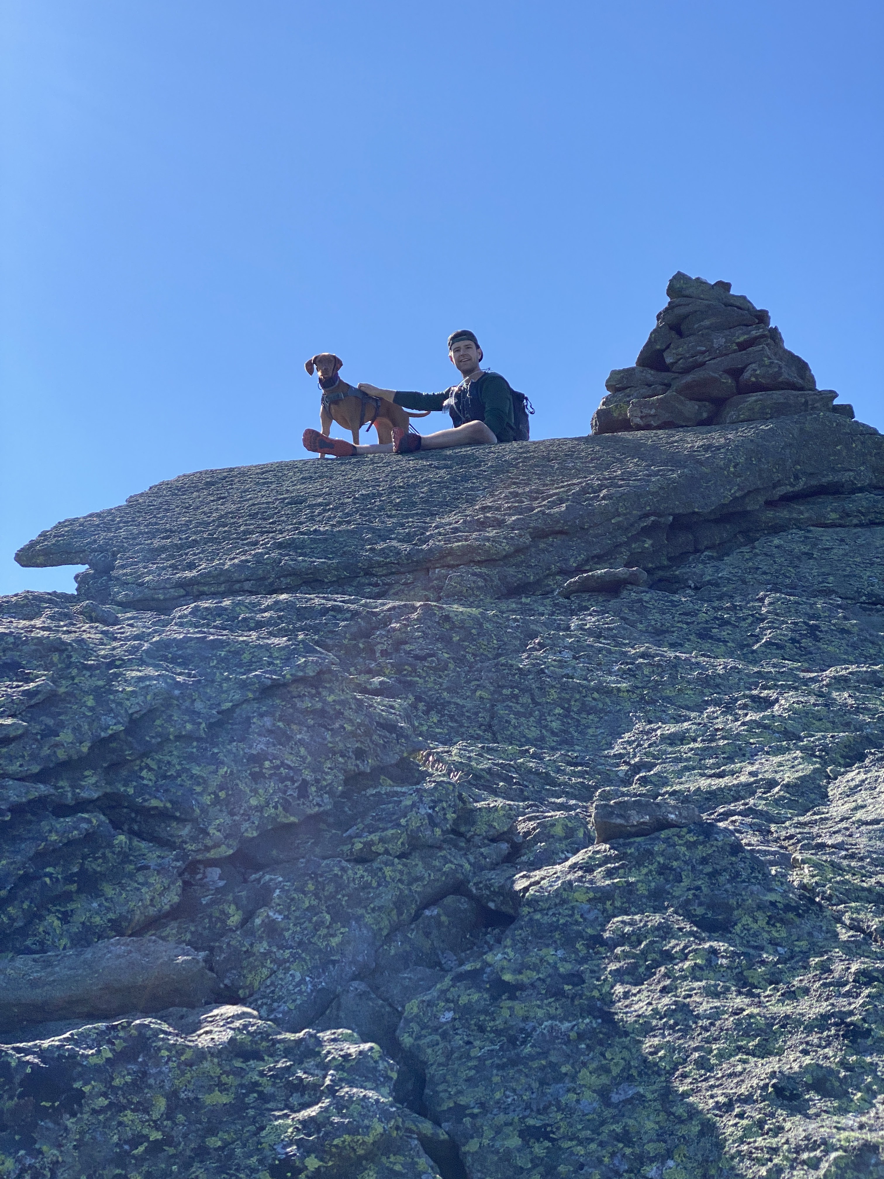


From Abigail, you go off path for a bit and climb the obvious prominence to the right, which is Sam Adams. Sadly, we did not bring a Sam Adams to drink (also, it was like 9:15 AM which is early..) The whole trip up and down was just straightforward rock-hopping, very easy to completely avoid the vegetation.


After the summit of Sam, we headed to Thunderstorm Junction, and proceeded to take Gulfside around the looming mass of Adams. 
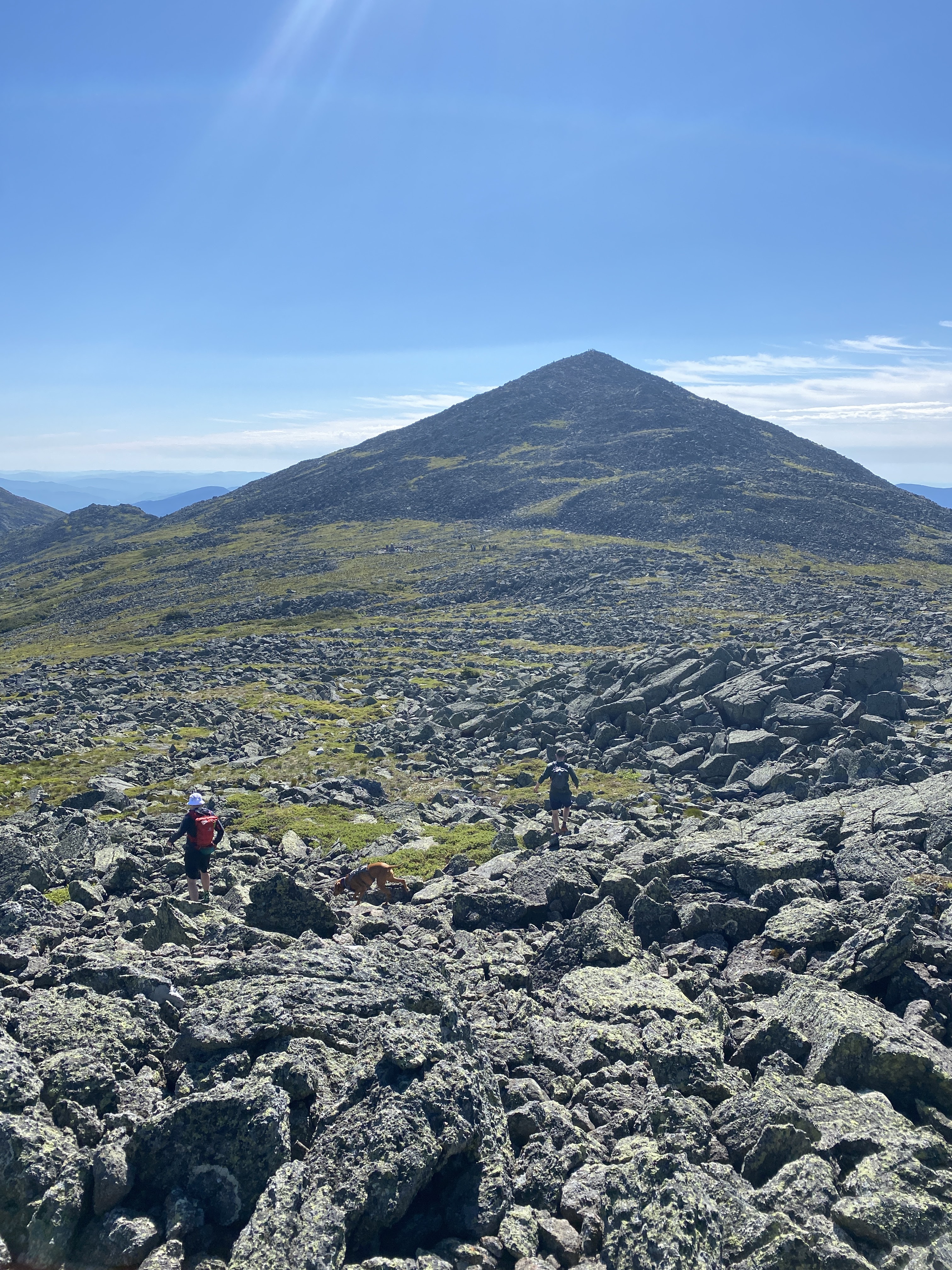


After the intersection to proceed up Adams, just a short way in, we took a detour to the left to conquer JQ Adams. A fun little rock hop, not at all unlike the rest of the trail! 


From there we kind of raced up Adams Adams because the trail was a little congested. A quick stop at the top to recover, and we were off to our last peak of the day. 


From Adams Adams, wer descended along Lowe's path back to Thunderstorm Junction, and then took a left onto Gulfside. Not long after the Junction of Israel Ridge Path, we found little forgotten about Adams 5, and took the short walk to its summit. We enjoyed a little lunch, and then made our descent. 
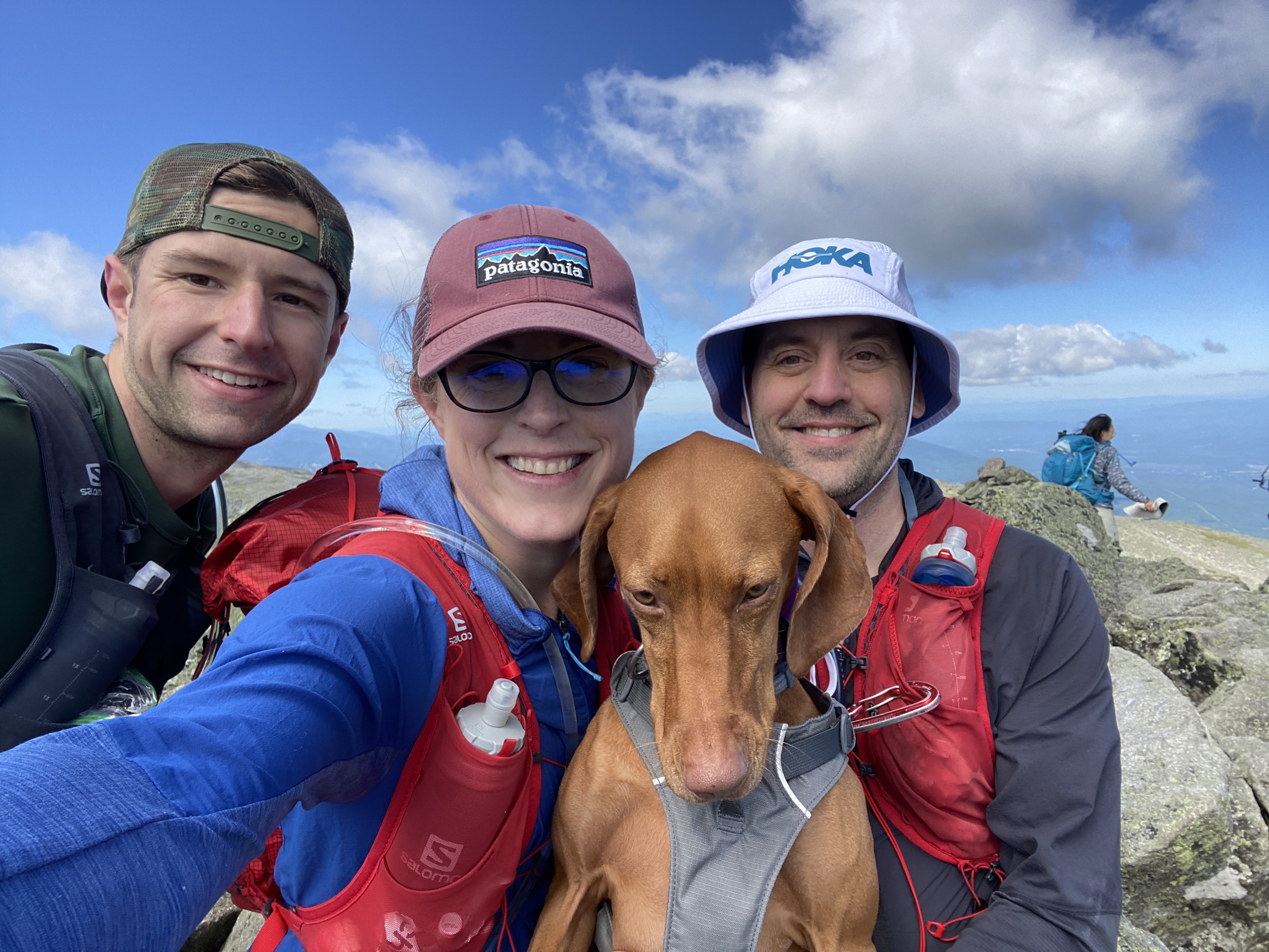


We (again) took the path less popular- and saw not a soul. Israel Ridge path took us to the Perch Path (and shelter- which is a nice site!) We then took Randolph Path, before, (eventually) getting back on Lowes. 

PHEW! This was an awesome day but definitely a big adventure, with all the rock hopping and multi peaking. We did have a wonderful time though, and it was an awesome above treeline day!

Stats:

Miles: 11.1

Elevation: 4940, no wonder we were tired

Time: 7:16:37

Fun:
Sara: I'm just saying it was a 10 of a day1
Eric:

Mt Washington #42 for round 2 of the NH48

On June 25th we headed off to tag Washington, since it (and Ellie's feet) had eluded us earlier in the season. 

As it turned out, it was Race the Cog day- where a few intrepid and crazy fools race the train up the hill. 

Basically, we did the same thing. We headed up the Jewell Trail with the hopes of catching the lead pack as they made their way up the crappy cog trail. 

It was a lovely day. Warmer than expected (actually hitting 70!) with very little wind. 


Surprisingly, we saw no other hikers while making the climb. 


Much to our delight- we were indeed able to catch a glimpse of the winning runner in the final stretch. Bunch of tough people- no way I could run up that hill in under an hour!


It was quite busy at the summit, so after watching a few finishers, and taking in the view from all sides, were made our way down. 


We chose to take the Cog "trail" to continue cheering on our friends- and I can't really recommend that as a route! Pretty much a drag- but great fun being the cheer squad. 

We finished feeling good, and happy to have enjoyed a really gorgeous day in the mountains. 

Stats:

Miles: 7.5

Elevation: 3747

Time: 4:03:05

Fun:
Sara: 8 (only because the cog "trail" sucks)
Eric: 9

Thursday, July 14, 2022

North & Middle Tripyramid: 40 & 41 for round 2 of the NH48

The Tripyramids are a couple hills that don't offer a high bang for your buck value. There is a great deal of work getting to the top, and neither summit is particularly delightful. 
This being said, we have hiked these monsters several times. so something keeps us coming back, but who knows what it is. 

The majority of this hike, on June 12, may have been one of our better trips up these two dumb mountains. Not the whole hike, but some of it was decent. 
I'll admit, it was a nice day and pleasant to be out and about. 


We went up Pine Bend Brook trail, as we avoid the infamous slides. Pine bend brook starts innocently enough and then is just steep and rocky and annoying. And THEN you are the top of North Tri and it's not a big event. 

THEN you walk over to middle tri, and THAT is not a big event either! (the walk between peaks is pretty nice though. A decent time.)


THEN you walk down Sabbaday Brook trail which is stupid for two reasons. ONE is that there is a stupid steep slidey dumb section of trail. And TWO you seriously cross the brook a zillion times. Back and forth, back and forth. And if the water is a little high it is a pain in the ass (probably impossible if the water is very high!) And if you are like me, you lose your balance and fall IN the brook ass over teakettle and are dripping sopping soaked. 


At the very end Sabbaday Brook trail is amazing and lovely and one might forgive it, if one did not have a gallon of water still in each shoe.

Anyway. Got it done. Check for this round, for June and maybe for Spring (can't remember)

Stats:

Miles: 10.75

Elevation: 3219

Time: 5:04:02

Fun:
Sara: 5
Eric: Negative 4 

Sunday, July 10, 2022

Cannon #39 of round 2 of the NH48

Cannon is not our favorite.  Not every mountain can be, after all, and there's something about the short, steep climb followed by droves and droves of people who take the tram to the summit that we find off putting. Weirdly, when I blogged about our maiden voyage up Cannon back in 2020, we didn't mind it and I believe I may have absurdly rated it easy. I can only assume now that I did so due to the fact that it is short, most of it is relatively protected and because I was young and dumb. 

Short and sweet: Sunday June 11 we had very limited time, and we were already camping in the area. So, Cannon it was. We got up there early and made short work of it. There was literally nobody at the summit, and we barely saw anyone until the descent.  It was steep and dumb and generally annoying. 

Good weather. 


No crowds. 


And we still don't like it. 
But it's done for this round, for Spring and for June

Stats:
Miles: 4.25

Elevation: 2306

Time: 2:23:56

Fun: Sara: 6
Eric: negative one million

Thursday, July 7, 2022

North and South Kinsman, #37 & 38 of round 2 of the NH48

There are a few ways to Hike the Kinsmans. Sitting across the street from the famous Franconia Ridge, "That" side of the mountain tends to see some pretty heavy traffic. (a popular route is from the Lafayette place campground, and follows the Basin-Cascade train to the infamous Fishin Jimmy.) Another pretty horrible route takes you over Cannon, and then over a rather horrendous stretch of trail and a couple sub peaks called the Cannon Balls. If you take that route, don't be like us and try it in a very hot day. It's really hard and not awesome when you are dying of heat and swatting at horse flies. 

Anyway, I digress. To take the road somewhat less travelled, simply drive to the "other" side and take the Mt Kinsman trail.

We did this hike on June 10th on a fairly decent weather day. When we did this hike last year it was completely socked in- just one big cloud. 

Honestly, with the exception of having to cross several streams (all of which were running high due to the previous days rain) the hike is pretty uneventful. 


A fairly easy start on what must have been a logging road eventually turns into a fairly long and steep grind. None of the shenanigans of Fishin Jimmy, just a long walk uphill in the (very pretty and mossy and flowery) woods. 


After about 3.75 miles you'll intersect with Kinsman Ridge Trail and find your first view. 


About a half mile later you'll come to the blink and you'll miss it summit of North peak. There is a little overlook right in the vicinity that we did not check out, as a few of the only other hikers of the day were out on it. 

Then, you walk another mile up some rocks and down some rocks (hahah)


And then you'll find your throne on the summit. (FYI) maybe 200 yards or so before the summit is an overlook that VERY easily could be mistaken for the summit if it is cloudy. The first time we did this mountain we almost stopped early because we could not see the slightly higher summit. 


If you're lucky, you'll see some gliders out taking a spin. 


We took a quick detour on the way down to check out Bald Peak which is DEFINITELY worth doing!


Anyway, after that we scooted right down.
To be honest, this hike was a low key mess because I ended up having enough cell service to deal in real time with a multi hour work emergency that took place when we were as far away as possible. Fortunately, all was resolved prior to us getting off the trail but it was not a great way to spend a couple hours!

This hike crossed this off the list for this round of the 48, for Spring and for June. 

Stats:

Miles: 10.6

Elevation: 3979

Time: 5:44:27

Fun: Sara: 4 (just a lame day)
Eric (7) unaffected by work crisis