Holy Crap you guys, we did it!
 |
| OMG |
OK.... Let's back up just a little. To about 1:30 in the morning on Sunday, July 29th.
 |
| ugh BARF |
All week we had been looking at (obsessing over) the weather, and by Thursday, had completely ruled out Friday. Our goal was to do this hike with my cousin Evan, as he has been in the inner circle of planning for this absurd event for the past year or so. His schedule allowed for either an attempt on Friday, or Saturday (and to add to the pressure, he was getting ready to move- literally the following week!!) It was kind of a do or die feeling.
However. None of us actually wish to die on a mountain in NH. No thanks. So sadly, when the Saturday forecast flopped miserably, Evan bowed out and we decided to try again later.
Eric and I came up with a decent enough plan B, to hike a small Madison/Adams loop early Saturday morning, before more rain, and possible thunder became an issue.
And then... We looked at Sunday's forecast. And it was perfect.
We were being promised wall to wall sun, 52 degrees, no chance of thunder. Basically, a money day for anything in late July. We made the decision in the final hour, confessed our intentions (and promises for a re-do) to Evan, and packed up all our bullshit. (because you never trust the forecast.)
The plan was to hit the trail at 3:30AM, follow a route from Madison, Adams, Jefferson, Clay, Washington, Monroe, (possibly Franklin), Eisenhower, and then finally, Pierce where we would meet Lee for the final 2 hour decent. We were hoping to reach the trail head on Clinton Rd at 6:12 PM. Not that we were being exact or anything....
Eric and I struggle to be on time for anything. We began the hike, in the pitch black (as expected) exactly at 3:40. I texted Lee to let him know where we were at (he had a spreadsheet with exact times for each checkpoint, that could easily be adjusted if we were behind, or ahead of schedule.)
 |
| Already running late, but must take a selfie |
The only area that Eric and I excel in while hiking, is basic uphill stuff. Already having been on Madison this year gave us an edge, and we were comfortably ahead of pace for the first 2 hours.
 |
| EXPERT night hikers |
I ended up not feeling great just after sunrise, due to female issues, a picky stomach, and my tendency towards being the most anxious person in the world when my sleep schedule is thrown off (#dainty) We took an unexpected break so that I could get my shit together (which I did) and then we really got down to business.
Once the sun was up we were excited to see the beautiful day dawning!!!!!
For exactly 30 seconds.
Eric peeked up towards the Madison summit, still in the distance and said ".....do you see a cloud??" And yes, I saw a cloud. A huge, huge cloud covering the whole entire world!!
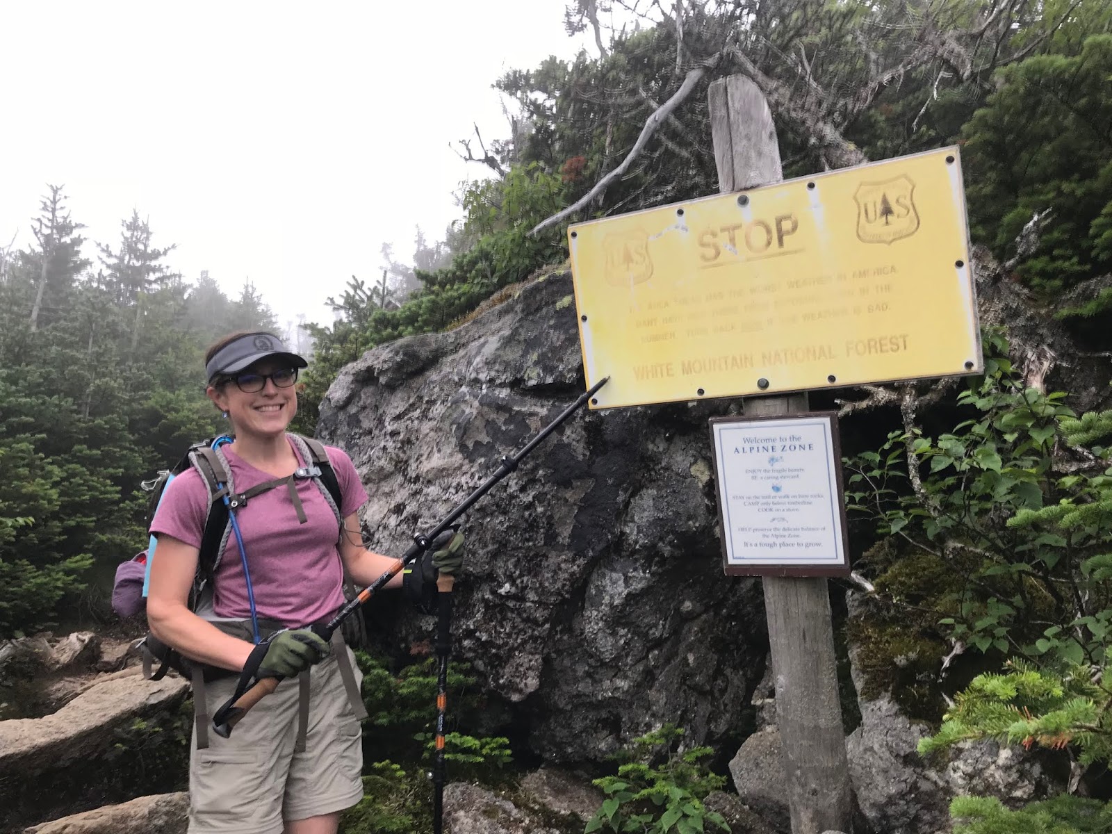
Which made us take the "you are f***ed" sign even more seriously than normal.
 |
| OH SHIT |
We reached the Madison hut at 6:45, and dropped our bags prior to summiting. We took Valley way to this point, as planned. Next time, we expect to take Watson (even though that means we will eliminate the out and back, which allows the indulgence of leaving our backpacks behind.)
 |
| OK, let's play "find the Madison Hut" |
The summit of Madison was a taste of things to come for the next 8 or so hours. Completely socked in with dripping, fast moving clouds. Pretty windy! (solid 30MPH wind, with gusts) and generally just on the safe side of crazy.
 |
| Eric atop Madison |
We stopped quickly at the hut after clambering down to fill up on water (since the huts were all open I carried less than a liter up to this point, which I certainly recommend) I also texted Lee to let him know we were (at that point) just slightly ahead of schedule.
At this point, we entered both uncharted waters and the part of the hike that I was the most uneasy about, especially since the visibility was literally 10 feet. While we had a turn by turn directional plan, a map, and we had extensively studied the route, the only part of the route planning that had given me any concern had been the trip from Madison to Jefferson.
Clearly, we made it just fine (and I guarantee, in clear conditions it certainly would have been straightforward.) But in the very foggy conditions, there were some minor challenges.
 |
| One minor challenge being my constantly foggy glasses! |
Getting up Adams was kind of a bitch. The weather was at its worst here, and we couldn't help laughing. "Clear Day" my ass! (and we took Airline/Gulfside to the top. We would like to do Star Lake next time, but this was not the day for it, as it is much more difficult according to the internet (and we trust the internet.)
 |
| No visibility? No problem. Just follow that neon hiker. |
We had packed correctly, and were perfectly safe and comfortable (I had on a tech shirt, a Patagonia nano puff, and a North Face shell for much of the journey- basically the perfect outfit for the conditions. Oh, and shorts. I don't go without pants.) We were leapfrogging with another small traverse group, who seemed to be slightly less prepared than we were. (honestly, the turn by turn direction sheet is a WIN!) We all made it to the Adams summit in the WIND, had a good laugh, looked around and literally said "what the hell way do we go???" To which, this random TRAIL RUNNER (way to make me feel bad about myself!) said, with great confidence "THAT WAY." So, that way we went. (yes, the sigh at the Adams summit is slightly less that clear, as are a few in the general area.) So we followed Lowe's path for a hot minute, before hitting Gulfside. Which also seems to be called Israel Ridge path. It's all good, just follow my really clear directions. (don't.)
 |
| Ummm, ok. What does this sign say?? |
ANYWAY. We were having a good time. Feeling great. We are crazy. We summited Adams 13 minutes early, nothing short of a miracle since we were basically creeping from cairn to cairn.
It was damp. And rather breezy, which makes my hair stylish.
 |
| Wow |
After discovering what way to go, we were off. And so were our Traverse buddies, other humans, and a veritable BAND of trail runners (WTF guys)
I imagine this stretch of trail to be nothing short of stunning on a clear day. It was pretty solid on this day, and all we could see was cloud. Rapidly moving cloud.
As we reached the Jefferson loop, we saw quite a few more people for a moment, and then started the climb more or less solo. We seem to be very alone in our pacing, slower than many, faster than about two.
 |
| Just the typical Rocks |
I'm glad we got to see Jefferson on a clear day this Spring. (because, it was SO CLOUDY!!) Jefferson was not nearly as windy as Adams, but it was thick as pea soup. We quickly tagged the top, waved to our hiking friends, and skedaddled. We summited Jefferson 5 minutes early (keeping in mind, this was technically 15 minutes early, since we started 10 minutes late. But I decided that was to be ignored.)
 |
| Heading towards Washington. We hope. |
Many people have said that the hike to Washington is just so SO so long. Apparently, you can see your destination for hours on end, before finally arriving! This may be where the low visibility helped us. We had no concept of how far we had to go, or how long the next climb was! We just kept motoring along, keeping the cairns in front of us, and trying to catch a glimpse of a view where we could.
We actually enjoyed the hike to Washington tremendously. I LOVED going over Clay, there were zero people there, and even on a gray day it was incredibly beautiful.
 |
| SO gorgeous. Well, the view too. |
We summited Clay 2 minutes early. In between Madison and Washington we probably needed to modify our outfits no fewer than 5 times because of the ever changing weather. This certainly cut into our banked minutes.
On to Washington. Of course, as we began the climb to the most popular mountain in NH the crowds became pretty significant. The fog was periodically thinning, and it was certainly warm enough for people to be enjoying a day hike.
We saw quite a few trains ....sort of.....
 |
| WHERE ARE YOU, TRAIN??? |
Suddenly, we looked up during a "clear" moment, and saw the observatory in sight! Almost there!
 |
| Hey! Almost missed you! |
It came as a shock to nobody that the line for the sign was about 60 people deep. NOPE!
 |
| We'll just take this from over here, thanx |
We had weirdly made up a ton of time in this section, and reached the summit about 20 minutes early. We decided to take a break at this point, and spend 15 minutes eating some real food, using an actual restroom, and dealing with a metric fuck ton of people (yes, that is what you get for hiking in July! I know!) We talked about how we were feeling (which was great!) and how straightforward the navigation had been, since leaving Adams (you really just stick to Gulfside, with the exception of the summit loops.) Knowing that we were going to be hitting the Crawford Path once we stepped outside was exciting, we had heard that this was the best stretch of the hike and much easier on the feet.
.....So out we went, into the CLOUDS!!!!!......
(to be continued, since this is literally 300 pages long)
And you can check out part two
here


No comments:
Post a Comment